print, engraving
#
baroque
#
dutch-golden-age
# print
#
landscape
#
geometric
#
engraving
Dimensions: height 382 mm, width 515 mm
Copyright: Rijks Museum: Open Domain
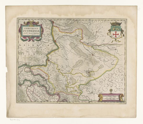
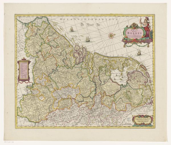
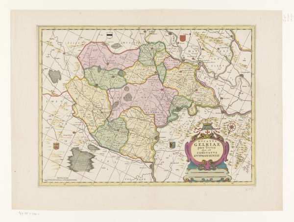
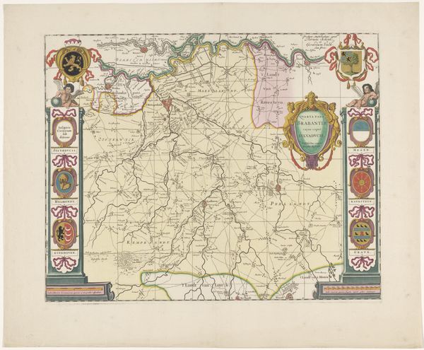
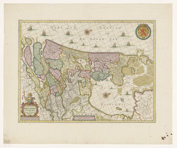
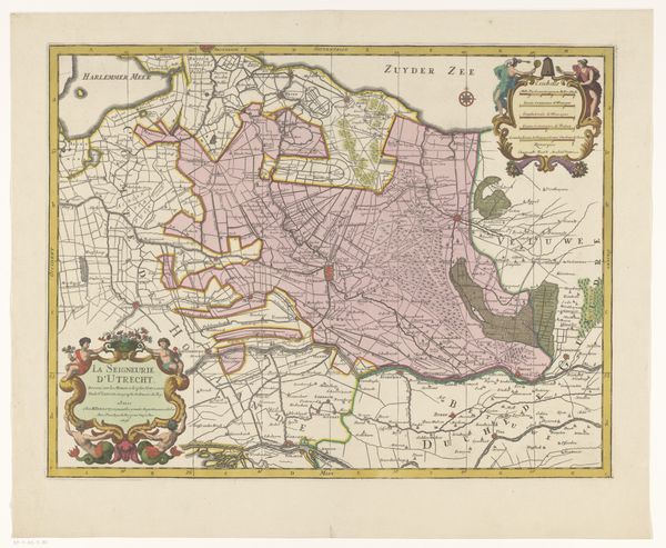
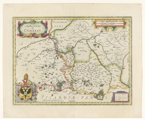
This is an undated map of Veluwe made by an anonymous artist. Its creation and reception occurred within a rich tapestry of Dutch cartography, a period defined by exploration, scientific advancement, and political ambition. As an invaluable tool for trade, military strategy, and governance, maps were far more than neutral representations. They actively shaped perceptions of space and belonging. The map’s fine details subtly asserted power, reflecting the cultural values and authority of those who commissioned and used them. It invites us to think about how regions are defined, both geographically and culturally, and how these definitions impact identity and belonging. How does seeing a place mapped out influence the way we relate to it, and to each other? This is a visual statement about claiming space, and belonging to the land.
Comments
No comments
Be the first to comment and join the conversation on the ultimate creative platform.
More like this