Kaart van de kanaaleilanden Lindisfarne, Guernsey, Jersey en de Farne-eilanden 1710 - 1751
0:00
0:00
drawing, print, etching, paper, ink
#
drawing
#
aged paper
#
toned paper
#
ink paper printed
# print
#
etching
#
landscape
#
paper
#
11_renaissance
#
personal sketchbook
#
ink
#
ink drawing experimentation
#
geometric
#
sketchbook drawing
#
watercolour illustration
#
history-painting
#
storyboard and sketchbook work
#
sketchbook art
#
watercolor
Dimensions: height 387 mm, width 514 mm
Copyright: Rijks Museum: Open Domain
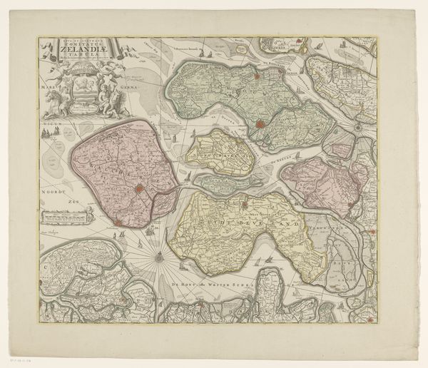
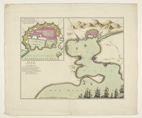
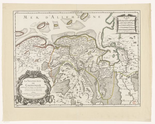
This is Jodocus Hondius’s map of the Channel Islands, Lindisfarne, Guernsey, Jersey, and the Farne Islands, created in the late 16th or early 17th century. Produced in the Netherlands during the Golden Age of Dutch cartography, this map reflects a growing interest in scientific accuracy, but also served strategic and commercial purposes for a nation expanding its maritime power. The detailed depiction of coastlines and navigational points highlights the importance of these islands for trade routes and military control. Consider how the map’s visual codes and cultural references would have been interpreted by its contemporary audience. The embellishments, such as the compass rose and decorative cartouches, evoke a sense of authority and prestige, reinforcing the power of cartography as a tool of knowledge and control. Historical research, especially into Dutch colonial ambitions and cartographic practices, can provide a deeper understanding of the map’s significance and its impact on shaping perceptions of these insular spaces.
Comments
No comments
Be the first to comment and join the conversation on the ultimate creative platform.
More like this