drawing, print, etching, ink
pen and ink
architectural sketch
drawing
dutch-golden-age
mechanical pen drawing
pen illustration
pen sketch
etching
old engraving style
linework heavy
ink
geometric
pen-ink sketch
pen work
cityscape
intricate and detailed
Dimensions: height 264 mm, width 350 mm
Copyright: Rijks Museum: Open Domain
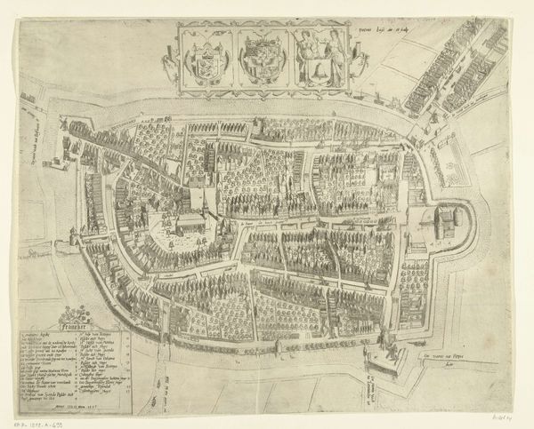
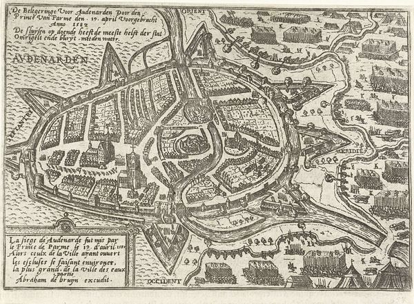
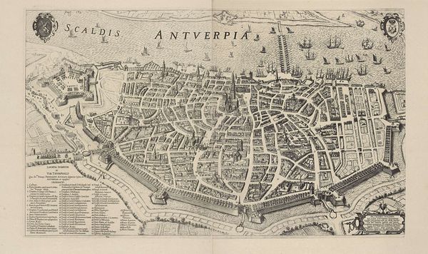
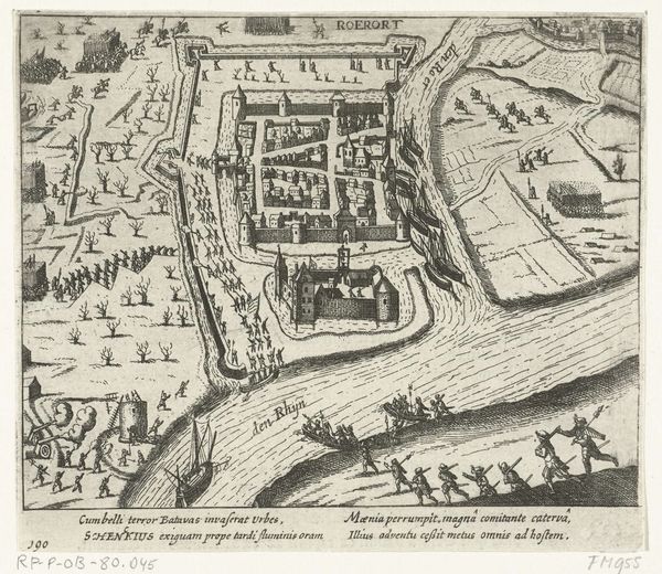
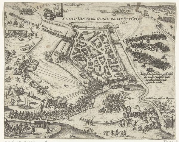
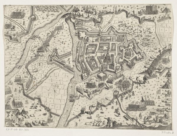
This is Nicolaes van Geelkercken's 'Map of Dokkum', etched around 1616. The immediate visual experience is one of intricate detail, composed in fine lines and stark contrasts. The map's structure is meticulously ordered, reflecting the urban planning of Dokkum. The composition is dominated by the town's layout, encased within fortifications and waterways. Van Geelkercken's use of line emphasizes the rigid geometry of streets and buildings, juxtaposed with the fluid curves of the water. This interplay creates a tension, revealing how human order interacts with the natural landscape. Semiotically, the map functions as a symbolic representation of power and control. The precise rendering of architectural elements and defensive structures conveys a sense of dominance over space. The cartouche with inscriptions serves as a further signifier of authority and civic pride. Ultimately, the map is more than a geographical document; it’s a statement about the human impulse to structure and impose meaning on the world. It reminds us that even the most seemingly objective representations are infused with cultural values and ideological frameworks.
Comments
No comments
Be the first to comment and join the conversation on the ultimate creative platform.