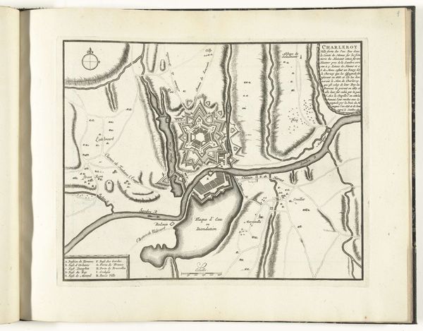
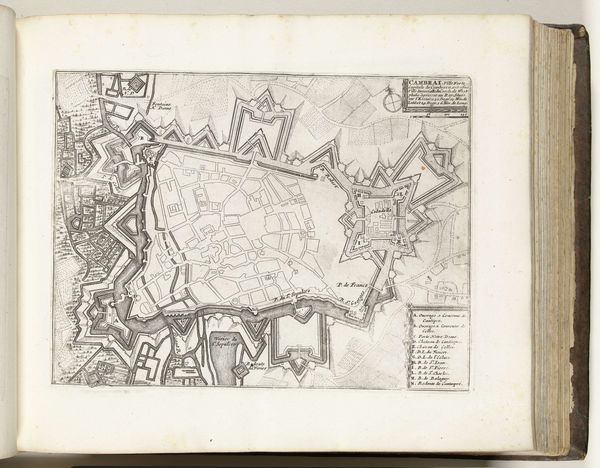
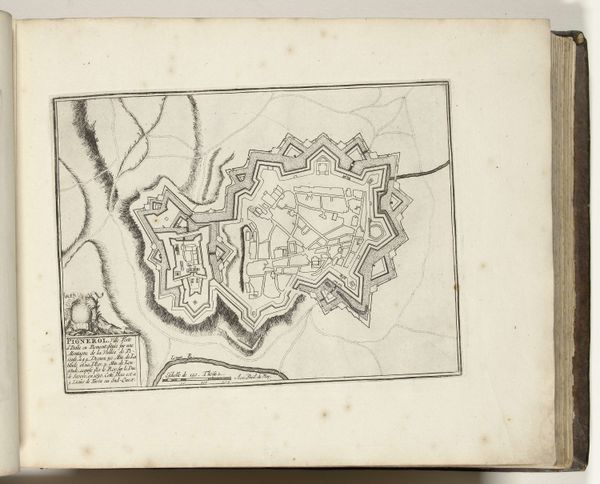
drawing, paper, ink
drawing
baroque
pen drawing
pen illustration
pen sketch
paper
personal sketchbook
ink
ink drawing experimentation
pen-ink sketch
pen work
sketchbook drawing
cityscape
storyboard and sketchbook work
sketchbook art
Dimensions: height 203 mm, width 279 mm
Copyright: Rijks Museum: Open Domain
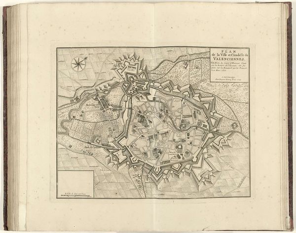
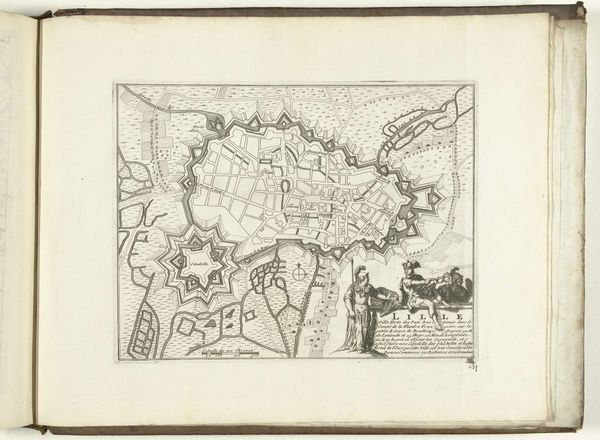
This is an anonymous print of a map of Lille, dating from around 1693 to 1696. It offers us a glimpse into a period marked by shifting political landscapes and military strategy. Lille, then a crucial fortified city, stood at the crossroads of European powers. Its plan reveals more than just geography. The star-shaped fortifications aren't merely architectural features; they represent power and control. They remind us of the ever-present threat of conflict. The geometric precision of the layout, intended to defend against invaders, also speaks to an ambition to impose order on the populace. Consider how the map flattens the lived experience of the city into an easily digestible format. Who was this map for, and what did they intend to do with it? The map invites us to reflect on the relationship between space, power, and identity. It's a historical artifact and a mirror reflecting the complex layers of society.
Comments
No comments
Be the first to comment and join the conversation on the ultimate creative platform.
More like this