drawing, print, paper, ink, engraving
#
drawing
#
baroque
# print
#
landscape
#
paper
#
ink
#
cityscape
#
engraving
Dimensions: height 238 mm, width 274 mm
Copyright: Rijks Museum: Open Domain
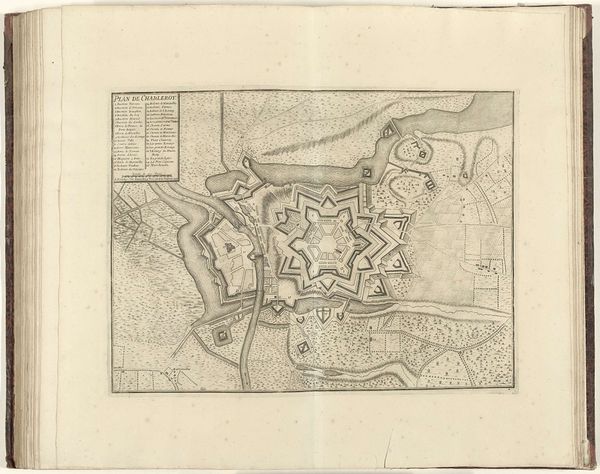
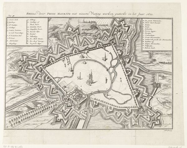
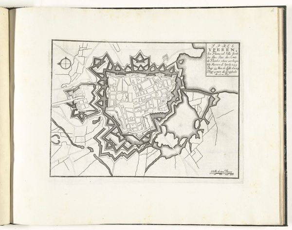
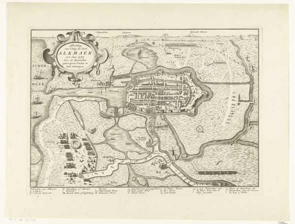
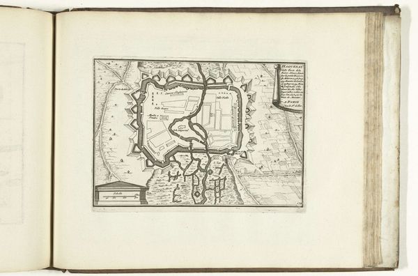
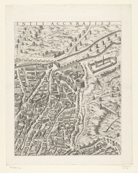
Abraham Allard made this copper engraving titled "Plattegrond van Haguenau." It presents a bird's-eye view of the fortified city of Haguenau, crucial for understanding 18th-century urban and military strategy. Produced in the Netherlands, the map reflects the Dutch Republic's prominence in cartography and its economic and political interests in the Rhine region. Haguenau, located in Alsace, held strategic importance in the complex power plays between France and the Holy Roman Empire. The detailed fortifications shown here are a testament to the constant threat of war and siege that shaped the lives of its inhabitants. Note how this plan is more than just geographical data, as it symbolizes control, ownership, and knowledge as power. To fully interpret this image, one could consult historical archives, military records, and period chronicles to understand Haguenau’s role in the broader European conflicts. This reminds us that artworks like this are shaped by social, political, and institutional contexts.
Comments
No comments
Be the first to comment and join the conversation on the ultimate creative platform.
More like this