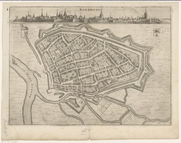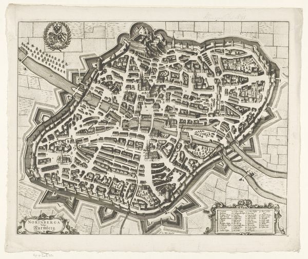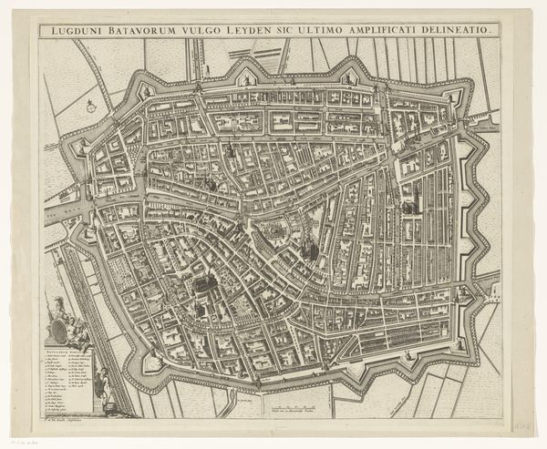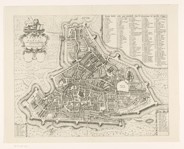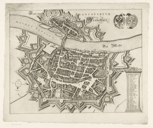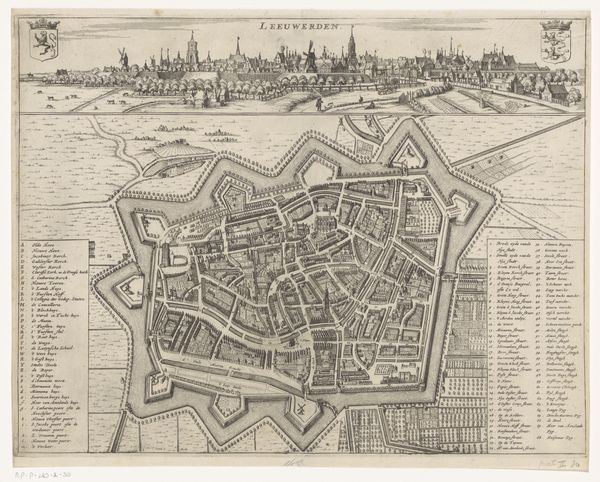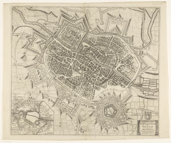
Curatorial notes
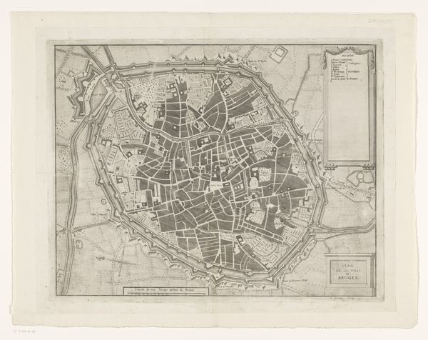
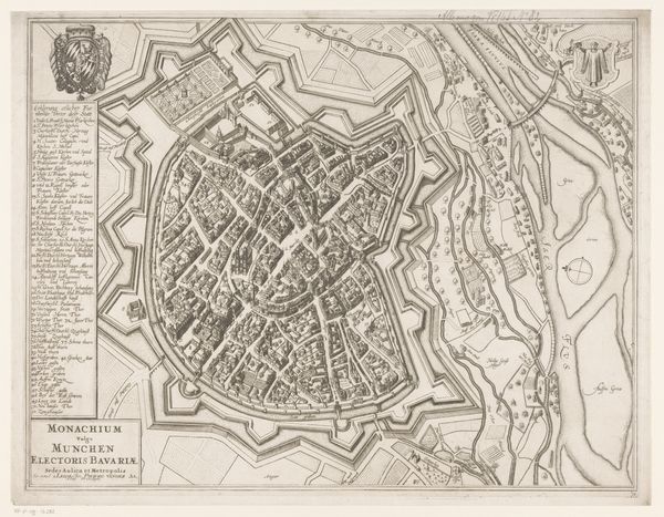
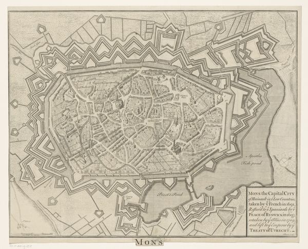
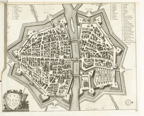
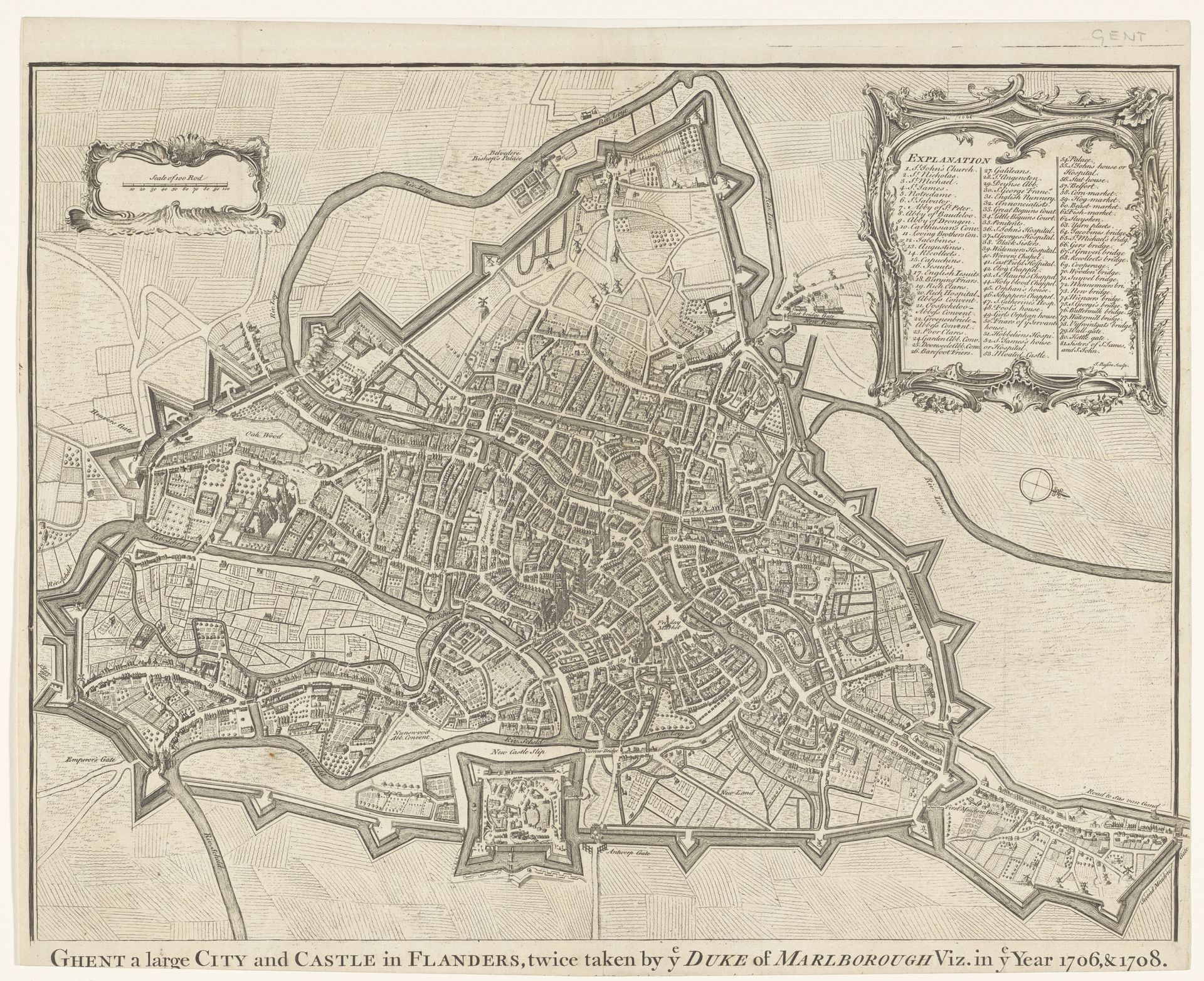
Isaac Basire created this map of Ghent in the 18th century, etching into copper a detailed view of the city’s layout. The most striking feature is the star-shaped fortifications that surround Ghent, a motif echoing across time and cultures. These bastions, designed to defend against sieges, remind one of similar geometric patterns found in Renaissance city plans, and even ancient Roman military camps. The star fort’s recurring presence speaks to a collective, perhaps subconscious, desire for order and control amidst chaos, reflecting humanity’s enduring need for security and structure. This is the visual language of power projected onto a landscape. The intricate details of the city itself, rendered with such care, evoke a sense of pride and belonging. In this way, the map transcends mere cartography, and becomes a powerful symbol of identity and place. The symbols of defense, of protection, become intertwined with the city itself, creating an emotional tapestry engaging the viewer’s subconscious.