#
light pencil work
#
blue ink drawing
#
shading to add clarity
#
old engraving style
#
personal sketchbook
#
ink drawing experimentation
#
pen-ink sketch
#
ink colored
#
sketchbook drawing
#
sketchbook art
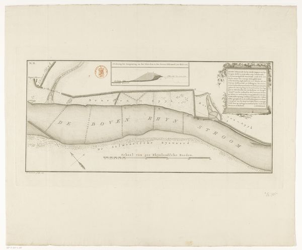
Dimensions: height 496 mm, width 567 mm
Copyright: Rijks Museum: Open Domain
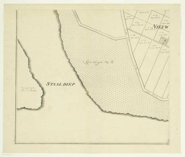
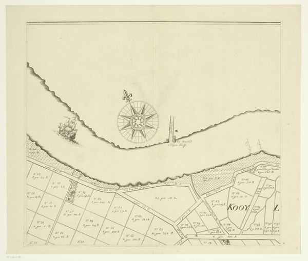
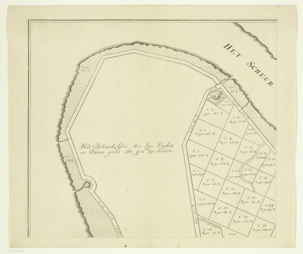
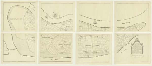
This map of the island of Rozenburg was produced by an anonymous artist at an unknown date, using pen and ink. Maps like these are not neutral documents. They are enmeshed in cultural and institutional practices. Cartography was an important tool for states and private companies. Maps were used to claim territory, extract resources, and control populations. By visually representing space, this map makes it knowable and governable. We might consider what it leaves out. What kind of knowledge is privileged and whose perspectives are excluded? What were the conditions that led to its creation? Was it commissioned by the local government, a private landowner, or perhaps a merchant? To better understand the social context of this map, we might consult archives and libraries. We could examine land records, census data, and other historical documents to better understand the social, political, and economic forces that shaped the map's creation and use.
Comments
No comments
Be the first to comment and join the conversation on the ultimate creative platform.
More like this