drawing, etching, pencil
#
drawing
#
neoclacissism
#
etching
#
landscape
#
river
#
etching
#
geometric
#
pencil
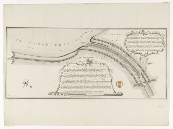
Dimensions: height 315 mm, width 600 mm
Copyright: Rijks Museum: Open Domain
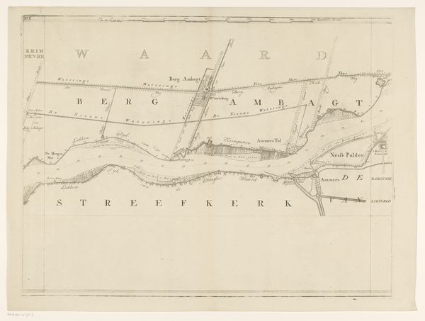
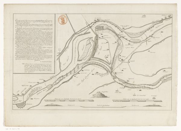
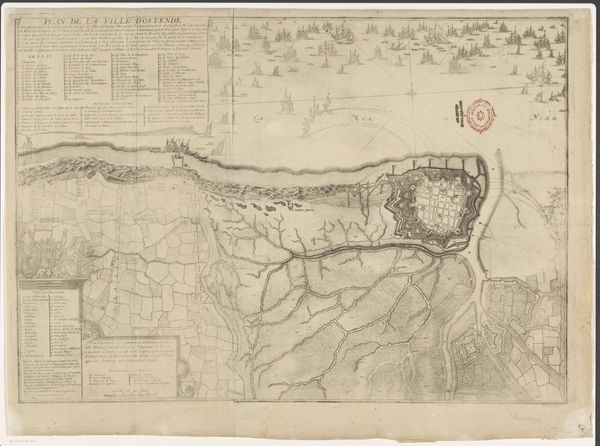
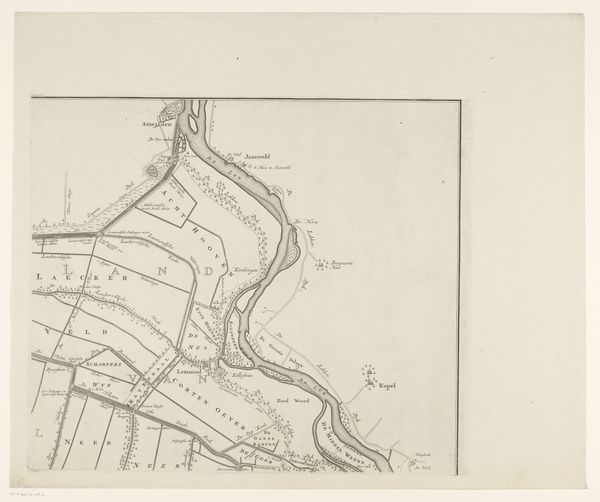
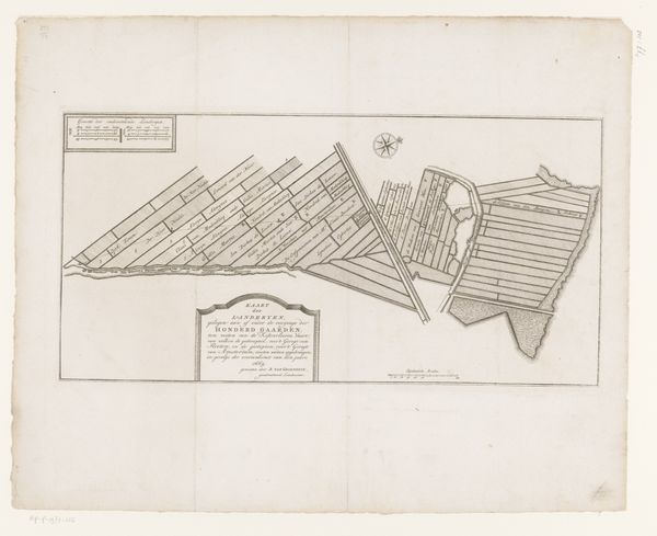
This is Daniël Veelwaard’s map of the Upper Rhine near Spijk, a work whose date is unknown, found at the Rijksmuseum. Veelwaard was active in a time of shifting national identities and intensifying colonial activity, and his maps are a window into how land was understood and controlled. At first glance, it appears as a simple geographical document, but consider what it means to chart a territory. It’s an assertion of control, a way of making the land legible and governable. Maps are never neutral; they reflect the values and power structures of those who create them. Veelwaard’s map participated in the 18th and 19th century project of nation-state building. Think about how this map might have been used. Who had access to this information, and what did they do with it? These maps played a crucial role in shaping not just geographical understanding, but also political and economic strategies related to the land. The act of mapping is an act of power, influencing how we perceive and interact with the world around us.
Comments
No comments
Be the first to comment and join the conversation on the ultimate creative platform.
More like this