drawing, print, ink, pen, engraving
drawing
baroque
pen drawing
landscape
ink
pen
cityscape
engraving
Dimensions: height 438 mm, width 555 mm
Copyright: Rijks Museum: Open Domain
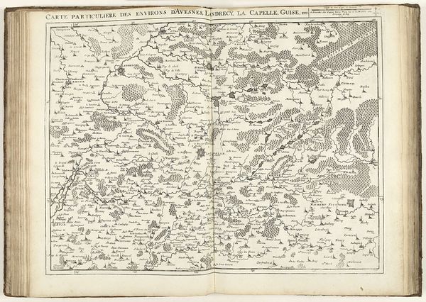
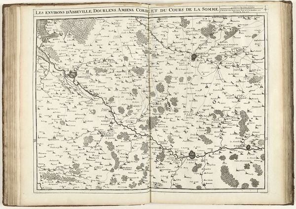
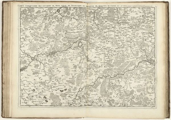
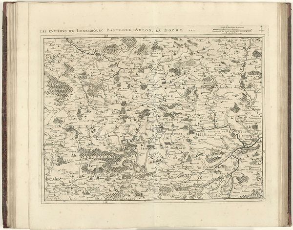
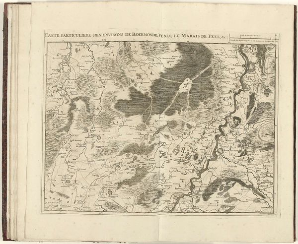
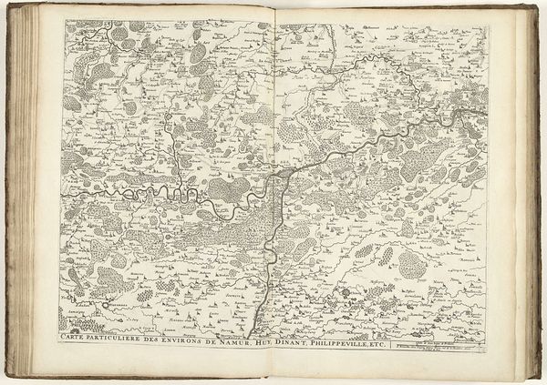
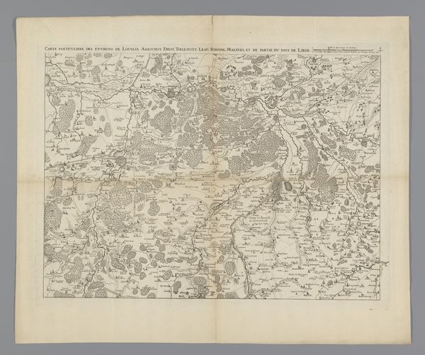
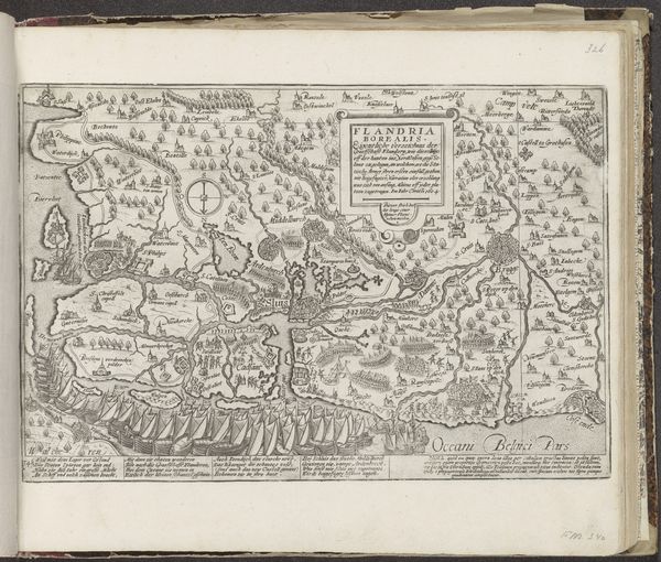
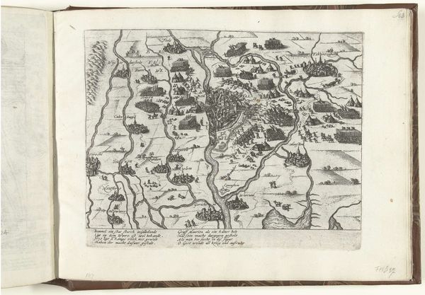
This is Jacobus Harrewijn’s map of Northern France, made in 1712 using etching. This detailed cartography offers us a glimpse into the strategic importance of the region during a period of intense European conflict, specifically the War of the Spanish Succession. Maps are never neutral; they reflect the priorities and power dynamics of those who commission and create them. Harrewijn’s map highlights fortifications and strategic points, revealing a preoccupation with military control and territorial claims. It omits aspects of daily life of ordinary people, reflecting a perspective from above, detached from lived experience. The names of towns and regions scattered across the landscape subtly assert ownership and cultural identity, laying claim to the land through language. Consider, too, how the act of mapping itself can be a form of dominance, turning complex, lived spaces into legible, manageable territories on paper. Harrewijn's etching, while appearing objective, is deeply embedded in the power structures of its time. This map invites us to reflect on the relationship between knowledge, power, and the representation of space.
Comments
No comments
Be the first to comment and join the conversation on the ultimate creative platform.