print, engraving
# print
#
landscape
#
line
#
engraving
Dimensions: height 440 mm, width 555 mm
Copyright: Rijks Museum: Open Domain
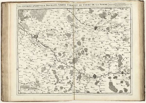
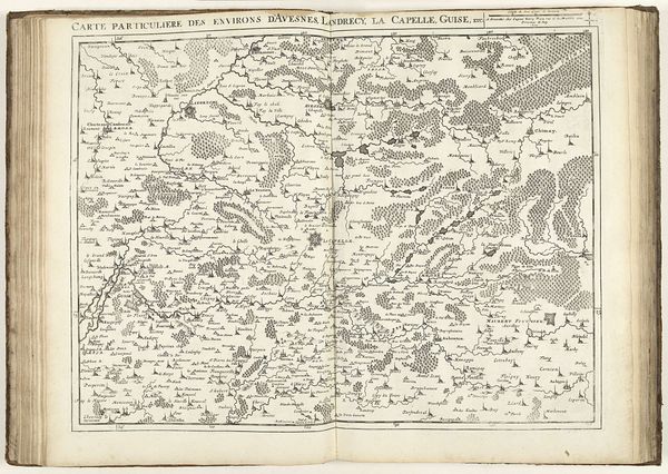
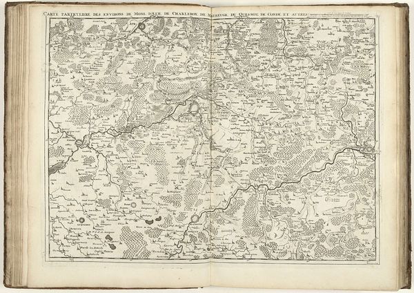
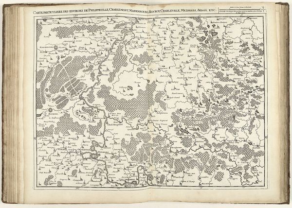
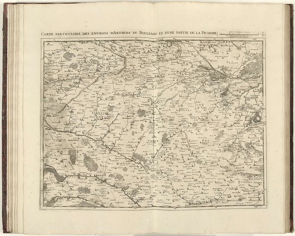
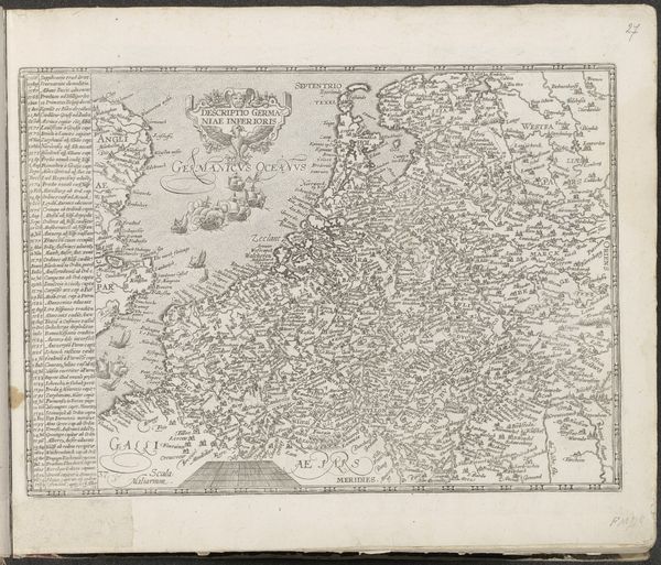
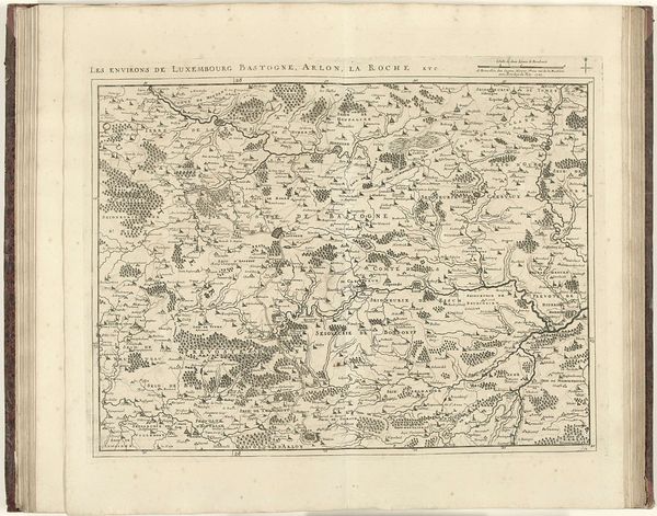
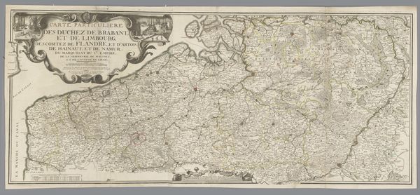
Curator: Here we have "Map of Northern France, 1710," an engraving by Jacobus Harrewijn. It feels incredibly detailed for its time. What are your first impressions? Editor: A flurry of delicate calligraphy! It looks like a very elaborate doodle but clearly is so much more. The symmetry is quite interesting... almost like the two sides are reflecting one another, even though, as a map, it can’t be a mirror image, right? Curator: Indeed. Though functional, maps have always held a certain visual poetry, offering a window into a world as imagined by the mapmaker. Jacobus Harrewijn certainly had an eye for aesthetics; notice the decorative quality to the tree clusters and the rivers meandering like veins. What kind of symbolic significance might we ascribe to that, considering the time it was made? Editor: Well, cartography has always been about power. To chart the land is to claim it, both physically and ideologically. These neat rows and meticulous notations tell us so much about the drive to know and control the landscape. But look closely, at each little vignette, the individual houses or gatherings of trees. They feel so symbolic, representative of home. Is it romantic, I wonder, or another tool of political influence? Curator: A good question, which leads me to another observation. What’s most striking is how clearly it establishes human dominion. See how tiny the structures appear in comparison to the land, yet it's the settlements and boundaries, not the natural features, that claim our attention. What could that say about the cultural consciousness of the time? Editor: Exactly. The line work reminds me of early family trees. Everything meticulously categorized and named, a yearning for order. What appears like mere illustration may represent deep seated social structures. Almost like a coded landscape waiting to be read, a story only accessible to those in the know. It speaks to something inherent about who we were and continue to be as a society. Fascinating how an old map can elicit these trains of thought. Curator: Absolutely! It truly offers a reflection of a world both concrete and deeply symbolic, which really stays with you once you’ve seen it. Thank you for highlighting these ideas so compellingly. Editor: It’s my pleasure; discovering those hidden depths is why I find this work so enchanting, still holding stories to this day.
Comments
No comments
Be the first to comment and join the conversation on the ultimate creative platform.
More like this