drawing, print, ink, engraving
drawing
baroque
pen drawing
pen illustration
old engraving style
landscape
ink
geometric
pen-ink sketch
line
pen work
engraving
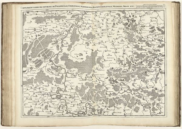
Dimensions: height 440 mm, width 550 mm
Copyright: Rijks Museum: Open Domain
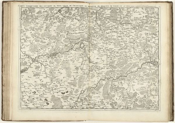
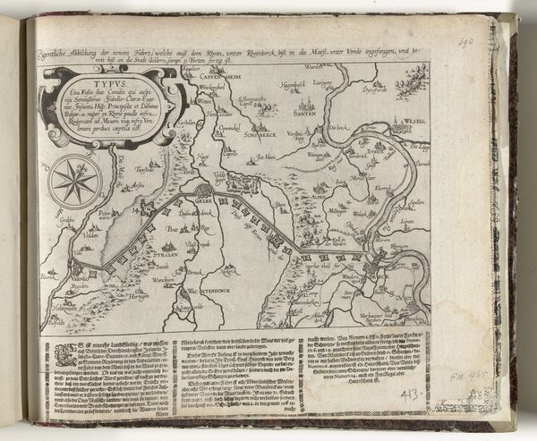
This detailed map of Northern France was crafted by Jacobus Harrewijn in 1712, etching a region steeped in history onto paper. Look closely, and you’ll notice the careful rendering of forests. These are not merely geographic features but potent symbols. Forests have long been seen as places of mystery, refuge, and even danger. We can trace this symbolism back to ancient mythologies, where forests often represent the unknown, the realm of gods and spirits. In visual culture, from medieval tapestries to Romantic paintings, the forest carries this weight, evolving yet persisting. Think of the Brothers Grimm fairy tales. These deep, dark woods are places of transformation, reflecting our collective fears and hopes. Harrewijn’s map, while seemingly objective, taps into this same subconscious—a silent acknowledgment of the forest's psychological power. The map becomes more than a document; it's a landscape of the mind, echoing through centuries.
Comments
No comments
Be the first to comment and join the conversation on the ultimate creative platform.