drawing, print, engraving
#
drawing
#
dutch-golden-age
# print
#
landscape
#
cityscape
#
engraving
Dimensions: height 454 mm, width 550 mm
Copyright: Rijks Museum: Open Domain
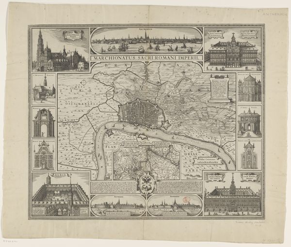
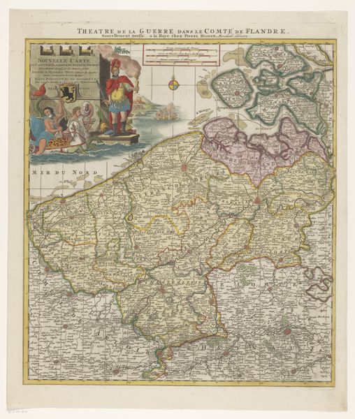
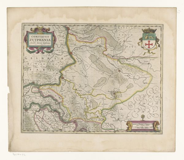
Editor: This is "Plattegrond van de stad Antwerpen en zijn omgeving," a map of the city of Antwerp and its surroundings, dating from 1634 to 1720. It’s a print, engraving, and drawing. It feels incredibly detailed, but also… like a declaration. How would you interpret this work? Curator: I see this as far more than a simple map. Consider the period: Antwerp was a contested space, caught between the Dutch Republic and Spanish control. Maps weren’t neutral; they were assertions of power, visual tools used to lay claim to territory, define identities, and bolster political narratives. Who is being given agency by the composition of this piece? Editor: I see what you mean. The details aren't just informative; they emphasize certain buildings and boundaries, like it's showcasing the city's strength. Curator: Exactly! The inclusion of specific buildings, churches, and fortifications isn’t arbitrary. It’s a carefully constructed image designed to project a certain image of Antwerp - think about the implied narratives of religion and governance here. It makes me think: what's being highlighted? What's been left out, or perhaps misrepresented? Editor: So, it’s a political statement disguised as cartography. Curator: Precisely. How do you see the visual elements contributing to that? The embellishments, the style... Editor: Well, the surrounding images of grand buildings definitely give a sense of established power and wealth. But thinking about it politically… maybe those depictions also represent what the mapmaker *wants* Antwerp to be, as much as what it actually was? Curator: Good question, excellent insight! Now consider this within the broader context of early modern cartography and its relationship to colonialism, trade, and conflict. That could deepen our appreciation. Editor: I never thought about maps in such a dynamic way. It makes me rethink how we interpret visual information even today! Curator: Indeed. Question everything, and consider whose narrative is being told, and why. This map is a lesson on power, perspective and political will.
Comments
No comments
Be the first to comment and join the conversation on the ultimate creative platform.
More like this