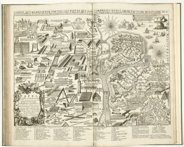
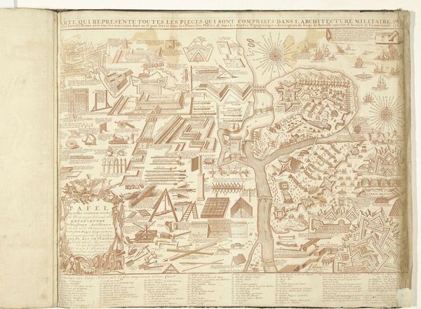
Fantasiekaart met militair arsenaal voor de oorlogsvoering ter land en ter zee, 1735 1700 - 1735
drawing, print, etching, ink, engraving
drawing
baroque
etching
ink
geometric
cityscape
history-painting
engraving
Dimensions: height 180 mm, width 265 mm
Copyright: Rijks Museum: Open Domain
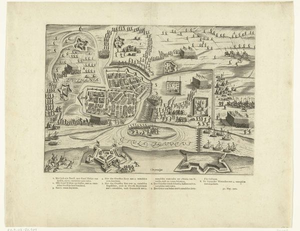
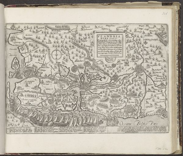
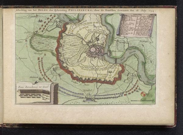
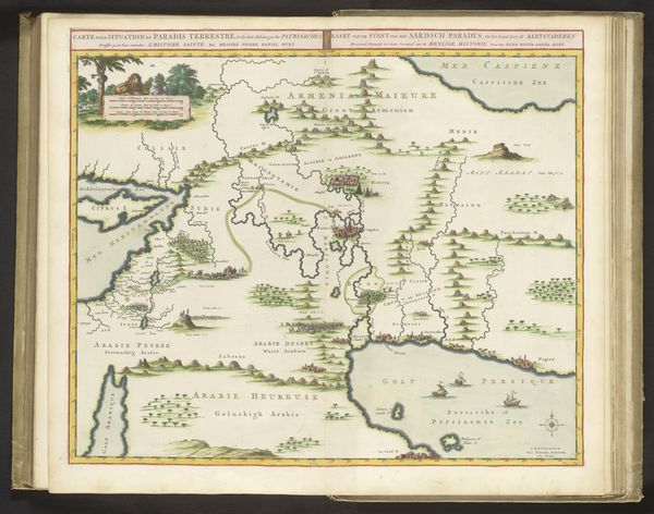
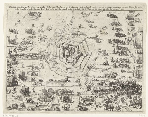
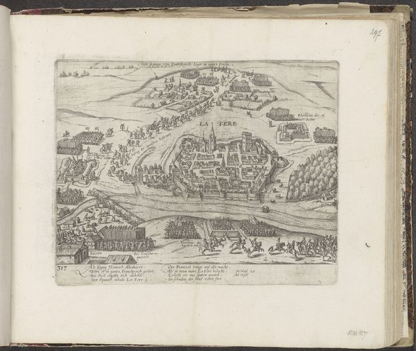
This so-called ‘fantasy map’ was made in 1735 by an anonymous artist, using ink and paint on paper. It is filled with ships, forts, cannons, and other tools of war; each meticulously rendered. The map seems to propose an imaginary military landscape, a bird’s-eye view of how military architecture can occupy and control space. The printing process allowed for the relatively easy reproduction of this image, making it widely accessible to military engineers, political elites, and anyone else interested in the art of war. But let’s consider the labor involved in the map’s production. While it appears to represent the tools of war and military architecture, it also represents the labor of the artist who meticulously rendered each detail. The very act of mapping, designing, and constructing these objects carries cultural and social significance. Maps and their proliferation offer insights into the mindset of the 18th century. Understanding the materials, making processes, and broader context, reveals the cultural and historical significance embedded in this artwork. It challenges us to rethink traditional notions of art, and consider the intersections between fine art, cartography, and military science.
Comments
No comments
Be the first to comment and join the conversation on the ultimate creative platform.