print, engraving
#
baroque
# print
#
cityscape
#
history-painting
#
engraving
Dimensions: height 1540 mm, width 1530 mm
Copyright: Rijks Museum: Open Domain
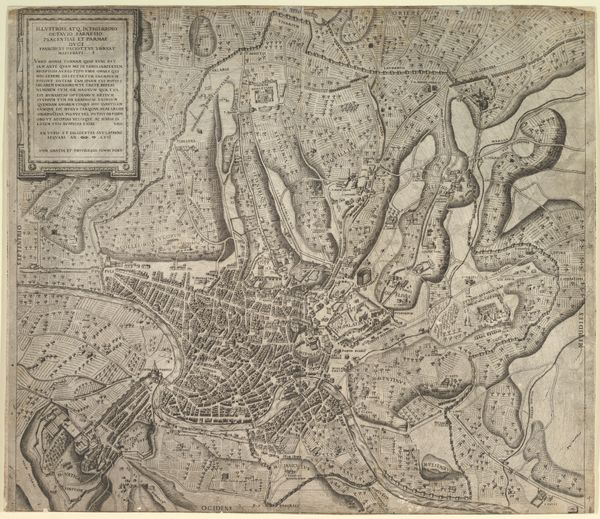
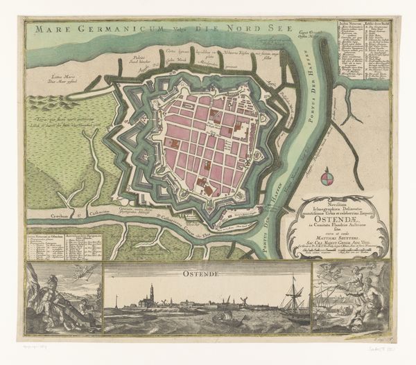
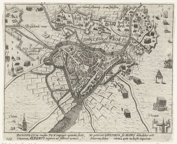
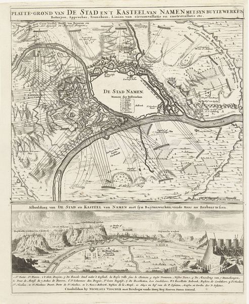
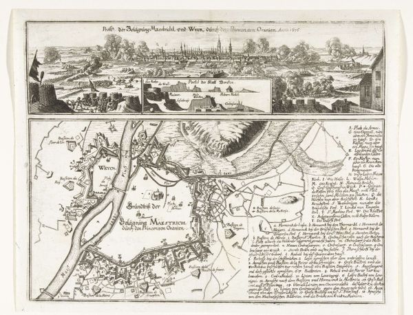
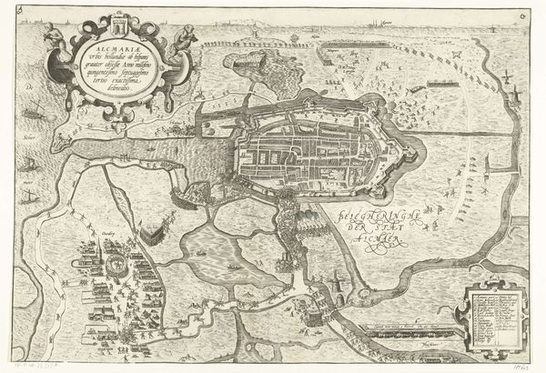
This detailed map of Rome was etched by Giovanni Battista Falda, sometime in the second half of the 17th century. The overwhelming visual experience is one of intricate order; the composition is dense, filled with myriad lines forming streets, buildings, and landmarks. This detailed, almost obsessive, representation creates a sense of the city as both knowable and overwhelmingly complex. Falda’s Rome is structured through the rigorous application of perspective and scale, yet this very rationality serves a purpose. The map isn’t just a neutral representation; it’s a statement of power, documenting and celebrating Rome as a center of papal authority and architectural achievement. Each building and street becomes a signifier within a larger semiotic system, reflecting the cultural codes and values of its time. The overall effect isn't just informative; it's a carefully constructed narrative that invites us to consider how space itself is a form of representation. The map’s structure reflects the broader cultural and philosophical discourse of the era, reminding us that even seemingly objective forms of representation are imbued with ideology.
Comments
No comments
Be the first to comment and join the conversation on the ultimate creative platform.
More like this