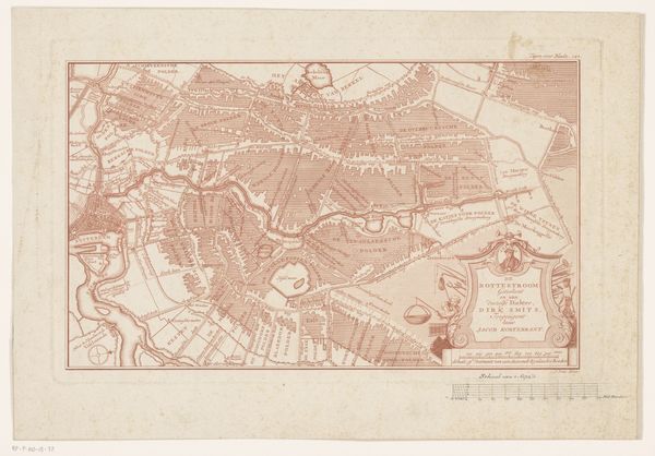
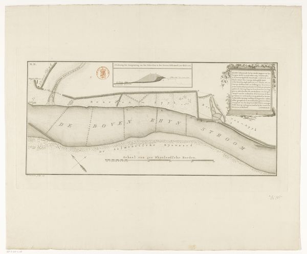
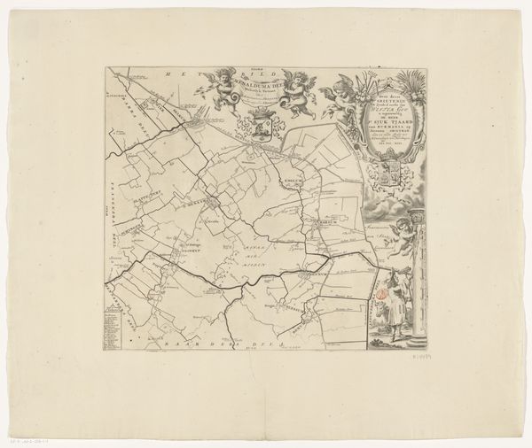
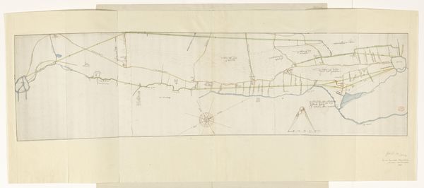
Kaart van de verkortingen in de Passageule en het kanaal naar de Braakman bij IJzendijke 1738
0:00
0:00
drawing, paper, ink
#
drawing
#
landscape
#
paper
#
ink
Dimensions: height 173 mm, width 751 mm
Copyright: Rijks Museum: Open Domain
T. Otten made this map of the Passageule and the canal to the Braakman near IJzendijke. It shows the waterways and the surrounding landscape of the region. The map provides visual codes, cultural references, and historical associations that are crucial to understanding the social and economic context of the time. It was likely commissioned by a local authority or a wealthy landowner to document land ownership, property boundaries, and the infrastructure. During this time in the Netherlands, water management was critical for agriculture and trade. The map reflects the region's social and economic structures and the importance of institutions responsible for land management. The careful rendering of the waterways and fields shows an attempt to control and manage the landscape for economic gain. It would be worth consulting historical archives, land records, and engineering reports to better understand the map's purpose and impact on the region. Such research allows us to understand the social and institutional factors that shaped its creation.
Comments
No comments
Be the first to comment and join the conversation on the ultimate creative platform.
More like this