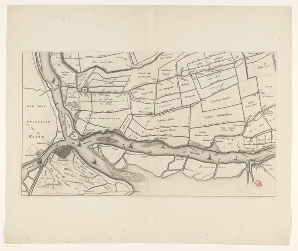
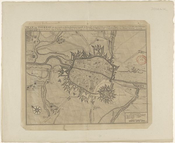
Kaart van het Hoogheemraadschap van de Krimpenerwaard (tweede deel van kaart) 1683 - 1741
0:00
0:00
johannesleupenius
Rijksmuseum
print, etching
#
dutch-golden-age
# print
#
etching
#
landscape
#
etching
#
geometric
Dimensions: height 437 mm, width 527 mm
Copyright: Rijks Museum: Open Domain
Editor: Here we have Johannes Leupenius's etching, "Kaart van het Hoogheemraadschap van de Krimpenerwaard," created sometime between 1683 and 1741. It’s incredibly detailed; almost feels like an abstract landscape from above. What stories do you think a map like this can tell us? Curator: Well, as an iconographer, I immediately look for the symbolic language embedded within. This isn't just a representation of land; it's a visual codification of power, ownership, and perhaps even identity. The geometric shapes – the divisions of land – speak to a very human desire to control and categorize the natural world. Look at how water, a symbol of fluidity and the unconscious, is carefully managed and constrained by these rigid lines. What does that contrast evoke for you? Editor: It makes me think about the Dutch relationship with the sea and land reclamation. They've literally shaped their world. Does that then mean that these divisions can represent aspects of identity or cultural memory? Curator: Absolutely. Maps were – and still are – potent symbols. They don’t just reflect geography; they reflect ideology. These lines might delineate not only property boundaries but also social structures, family lineages, and perhaps even deeply held beliefs about order and progress. How much do you think these symbolic representations influence how we perceive and interact with space, even today? Editor: I hadn't considered the psychological aspect so directly. It's more than just a practical tool; it's a cultural artifact loaded with meaning. Curator: Precisely. The etching is, in its own way, a mirror reflecting not just the land, but the society that created it. What do you take away from it now? Editor: Seeing it this way helps me to think about maps as active agents in shaping how we perceive and construct the world around us. Thank you.
Comments
No comments
Be the first to comment and join the conversation on the ultimate creative platform.
More like this