print, engraving
# print
#
asian-art
#
old engraving style
#
landscape
#
engraving
Dimensions: height 237 mm, width 185 mm
Copyright: Rijks Museum: Open Domain
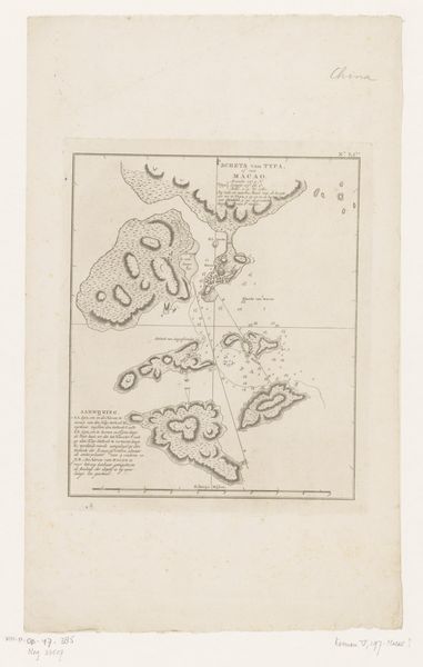
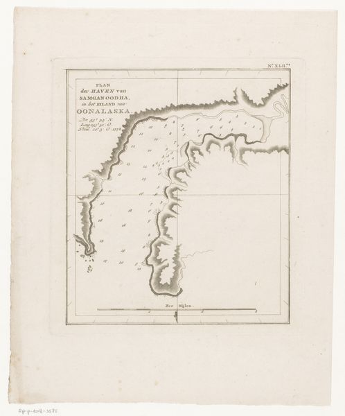
This undated map, made by an anonymous hand, depicts four islands in the Pacific Ocean, including Mangaia and Tubuai. Note how the coastlines are rendered, resembling organic forms, almost like brain coral. These shapes, in their isolation, evoke the human condition – islands of consciousness adrift in the vast ocean of existence. Consider the symbolic potency of islands throughout history. They have signified both refuge and isolation, paradise and imprisonment. In classical mythology, islands were often the domains of gods and monsters, places of transformation and exile. Think of Circe's island in The Odyssey, where men were turned into swine, or Prospero's enchanted isle in The Tempest. The act of mapping itself is a powerful assertion of control, a desire to impose order on the unknown. Yet, the rendering of these islands with their intricate, almost visceral details suggests a deeper, subconscious connection to the land. This cartography transcends mere representation, becoming a projection of human hopes, fears, and the eternal quest to understand our place in the world. These islands become powerful symbols of our own inner landscapes.
Comments
No comments
Be the first to comment and join the conversation on the ultimate creative platform.
More like this