drawing, paper, ink
#
drawing
#
neoclacissism
#
landscape
#
paper
#
ink
#
cityscape
Dimensions: height 629 mm, width 943 mm
Copyright: Rijks Museum: Open Domain
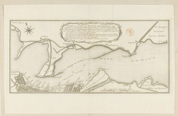
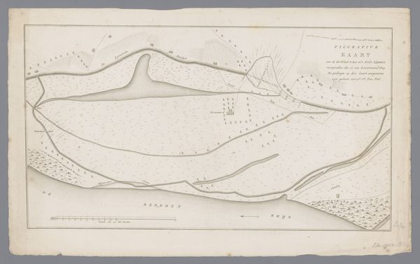
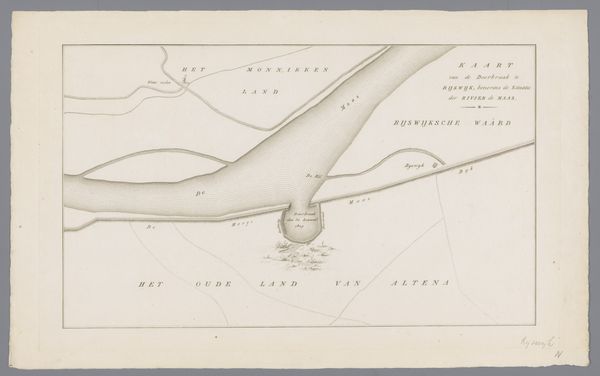
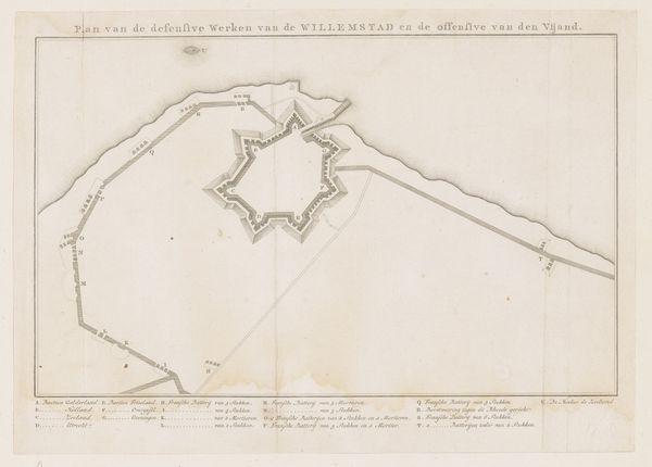
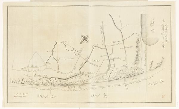
Daniël Veelwaard made this map of Nieuwe Diep near Den Helder with pen and gray ink, using traditional techniques of cartography and draughtsmanship. The material itself, paper, influences the appearance, providing a surface on which to meticulously render the details of the landscape, architecture, and waterways. The processes involved – surveying, measuring, and drafting – have imbued the map with a sense of precision and authority, essential qualities for navigation and governance. Veelwaard likely engaged with surveying tools and established cartographic traditions, reflecting a fusion of scientific accuracy and artistic skill. This map, while seemingly utilitarian, is also a testament to the labor and expertise required to chart and control territory. Consider how such maps played a role in shaping perceptions of space and facilitating trade and military operations. The level of detail and care invested in its production challenges the notion of a simple functional document. Instead, it highlights the inherent value in materials, making, and context for understanding the full meaning of an artwork.
Comments
No comments
Be the first to comment and join the conversation on the ultimate creative platform.
More like this