drawing, print, paper, ink
#
drawing
#
aged paper
#
toned paper
#
homemade paper
#
pale palette
#
ink paper printed
# print
#
light coloured
#
landscape
#
paper
#
personal sketchbook
#
ink
#
sketchbook drawing
#
watercolour illustration
#
sketchbook art
Dimensions: height 279 mm, width 446 mm
Copyright: Rijks Museum: Open Domain
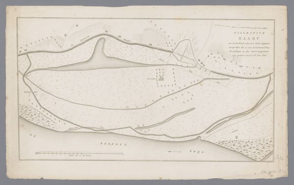
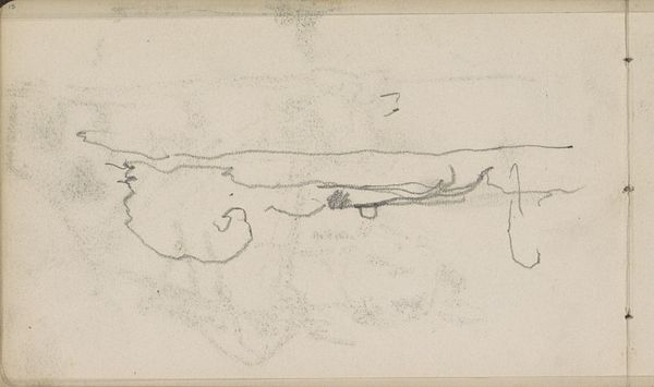
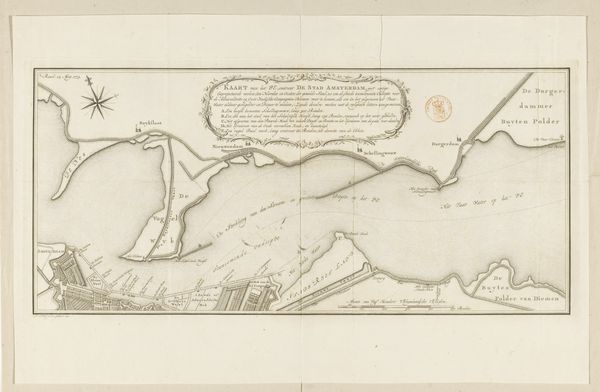
Curator: Let’s turn our attention to this seemingly unassuming print: "Kaart van dijkdoorbraak te Rijswijk, 1809," currently residing here at the Rijksmuseum. It depicts the aftermath of a dike breach near Rijswijk, focusing on the flooded lands adjacent to the river Maas. Editor: It has an ethereal quality to it. Pale inks on toned paper—it almost feels like looking at a ghost of the landscape. Curator: Indeed. It was created by an anonymous hand, printed with ink on paper, which explains its light coloured palette and delicate lines, quite typical of the period’s approach to topographical drawing. Given it was created after the disaster, it probably served as an informational tool for assessing damage or planning reconstruction efforts. Editor: I notice how the breach itself is marked with frantic, almost chaotic strokes. The map strives for rational representation but right there at the disaster's epicenter, we have a swirling chaos rendered visually, reminding us of nature's power to overwhelm constructed order. It reflects societal anxieties surrounding vulnerability in the face of natural disasters, right? Curator: Absolutely. Dike breaches were a recurring trauma for the Dutch Republic and later the Kingdom of Holland, and the politics surrounding water management were fiercely contested. It probably played some sort of role within political debates following the disaster. Editor: Maps in general served more than purely geographical functions back then, especially for smaller villages and locations such as this. Wouldn’t you agree this visual, more schematic format serves also a commemorative, cathartic role? This map transcends mere documentation; it functions almost as a collective memento mori of the ravaged lands. Curator: Very insightful, to be sure, the visual symbolism embedded here carries a much stronger emotional weight given the catastrophic historical context that shaped Dutch society back then. This object is a reminder about political disputes concerning national vulnerability towards flooding during that period. Editor: After our exchange, I am mostly impressed by the delicate balance of destruction and fragile beauty found within its simple composition. Curator: For me it emphasizes how a seemingly simple document, like this, could encapsulate immense socio-political anxieties concerning environment in past societies.
Comments
No comments
Be the first to comment and join the conversation on the ultimate creative platform.
More like this