drawing, ink
#
drawing
#
blue ink drawing
#
landscape
#
river
#
ink
#
cityscape
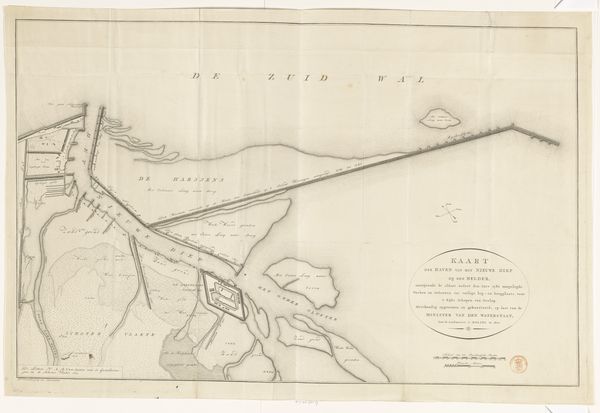
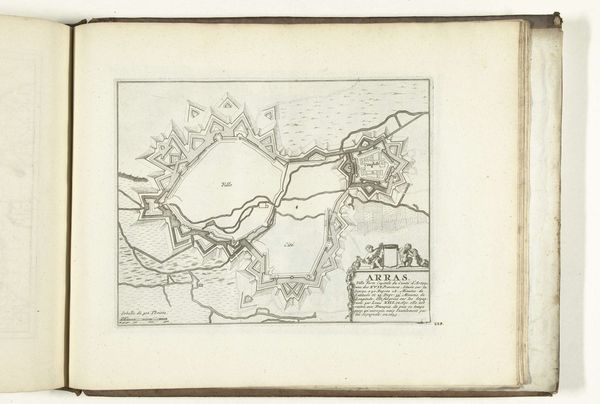
Dimensions: height 287 mm, width 603 mm
Copyright: Rijks Museum: Open Domain
Editor: Here we have Leonardus Schenk Jansz's "Kaart van het IJ bij Amsterdam," created in 1773 using ink. It strikes me as incredibly precise, almost sterile, given its subject is a vibrant port. What social function did it serve? Curator: This map speaks volumes about the 18th-century Dutch Republic. Consider, first, what it *isn’t*. It's not picturesque, romantic. It's a document. What does that suggest about its intended audience and their relationship to the space represented? Editor: Well, I suppose the crisp lines and clear labels served a practical, likely commercial or administrative purpose. Was this aimed at merchants or government officials? Curator: Exactly. Amsterdam's prosperity depended on maritime trade. Maps like these weren't just navigational aids; they were tools of power. They codified knowledge of the territory and consolidated control. The map actively defined the city's influence, dictating who had access, literally and figuratively, to the port. Editor: So it’s less about showing the city and more about…managing it? The image becomes part of the administrative apparatus? Curator: Precisely. It shapes perception. The absence of certain visual elements—the bustling crowds, the dangers of the sea—reinforces that sense of control, shaping an image of Amsterdam as a safe harbor for investment and governance. Even the ink is functional! Think of all the things ink communicates, too: from governmental records to financial security. Editor: I see. This drawing then isn’t just a depiction, but an act of defining, of claiming the space through a specific, politically charged lens. That shifts my perspective quite a bit! Curator: And understanding that shift is crucial to truly understanding the work. It reminds us that what seems objective is always shaped by context and purpose.
Comments
No comments
Be the first to comment and join the conversation on the ultimate creative platform.
More like this