#
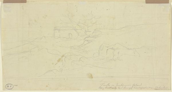
light pencil work
#
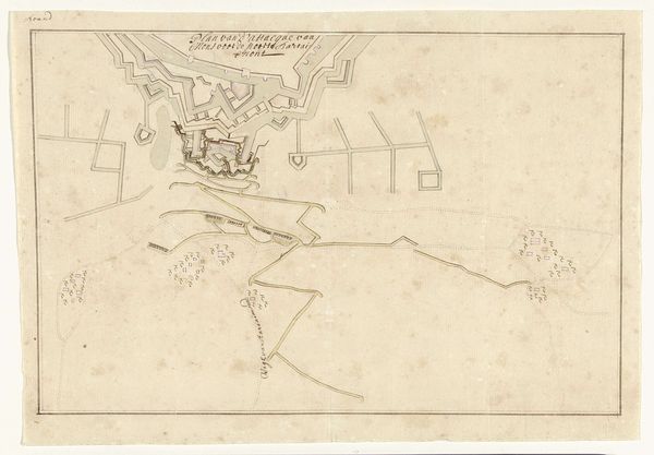
pencil sketch
#
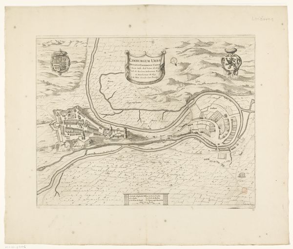
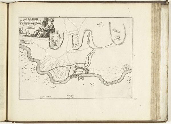
old engraving style
#
personal sketchbook
#
idea generation sketch
#
ink drawing experimentation
#
pen-ink sketch
#
sketchbook drawing
#
watercolour illustration
#
sketchbook art
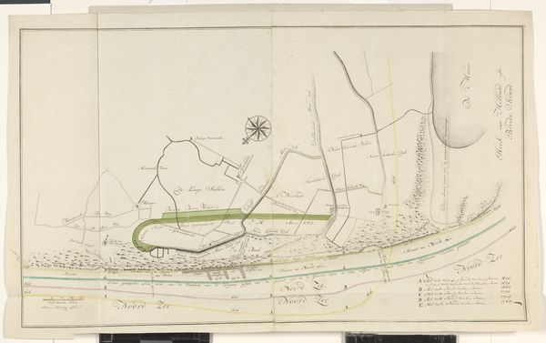
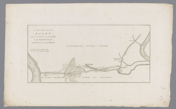
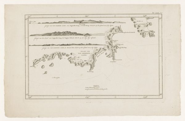
Dimensions: height 551 mm, width 933 mm
Copyright: Rijks Museum: Open Domain
Curator: Looking at this piece, I’m immediately transported—the delicate lines whisper of wind and water, a quiet day by the sea. It feels so… intimate, almost like finding a secret treasure tucked away in an old book. Editor: That’s a lovely way to put it. This is an intriguing chart of the coastal region between Monster and Hoek van Holland, created in 1737. It provides a fascinating glimpse into the area from the 18th century. It's part historical record, part artistic rendering. Curator: Oh, a map! See, I was sensing a journey, a marking of space. There's a simple beauty to how it's rendered – a sparse palette but such precision. I love the compass rose. It hints at adventure, at charting the unknown. It almost doesn't feel functional, you know? Like a love letter to the land itself. Editor: Indeed. Consider how maps, like paintings, have always been political tools as much as practical ones. Mapping territory defines power. An image like this serves multiple purposes; note the infrastructure, property demarcation, all rendered with careful consideration of space, implicitly claiming ownership and defining societal boundaries. Curator: It's the texture too, isn't it? The aging paper gives it such character! It has the marks and crinkles from a journey, probably carried and looked upon repeatedly through history. Imagine those eyes searching it back then! It bridges then and now. Editor: It’s important to recognize that the display of something like this in a museum environment reframes its meaning yet again. Removed from its original context, we can examine its aesthetic qualities and reflect on the social values of the time in a new way. The museum space elevates what would be a purely utilitarian object into something worthy of aesthetic appreciation and scholarly study. Curator: Which kind of returns me to that feeling—the personal quality despite it all. Thinking about it existing back then, then seeing it here today, so thoughtfully preserved—well, that’s why I feel so lucky to do what I do. Editor: I agree. Putting things like this on display is to suggest to contemporary eyes what in the past had enduring cultural significance. We don't always have answers, of course. However, through displaying material like this coast map we encourage reflection of those historical meanings onto the present.
Comments
No comments
Be the first to comment and join the conversation on the ultimate creative platform.
More like this