print, engraving
#
baroque
# print
#
landscape
#
cityscape
#
engraving
Dimensions: height 626 mm, width 857 mm
Copyright: Rijks Museum: Open Domain
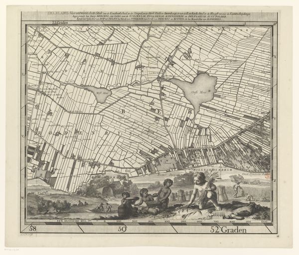
This is a map of the area surrounding the Abbey of Livry, created by Riolet, though the date of its making is unknown. Maps were powerful instruments of control and governance. They were used by states and institutions such as the Catholic church to lay claim to territory, manage resources, and exert influence over populations. In this map, the Abbey of Livry is depicted at the center of an intricate network of roads, forests, and fields. The careful delineation of property lines and topographical features speaks to the importance of land ownership and resource management in this period. The question is: how did the institution of the church shape the economic, social, and political landscape of the region? Was the Abbey a benevolent patron or an oppressive landlord? Historians draw on a range of archival materials, such as land records, tax documents, and monastic chronicles to answer these questions and to understand the complex relationship between religious institutions and the communities they governed.
Comments
No comments
Be the first to comment and join the conversation on the ultimate creative platform.
More like this