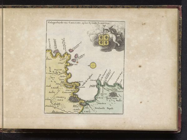
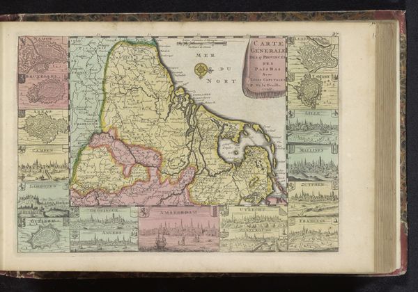
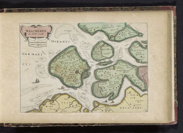
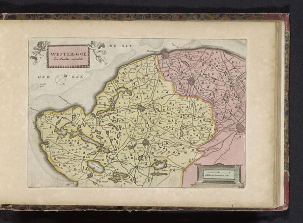
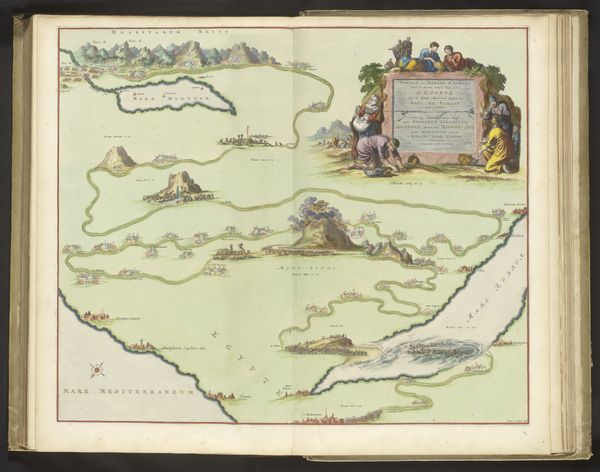
print, paper, engraving
#
baroque
# print
#
landscape
#
paper
#
coloured pencil
#
cityscape
#
engraving
Dimensions: height 178 mm, width 462 mm
Copyright: Rijks Museum: Open Domain
Curator: At first glance, I'm struck by the way the upper and lower sections don’t quite align; it almost creates a disjointed feeling. Editor: That's an interesting observation. Let me introduce this print, a “Paskaart van de Straat van Gibraltar” dating back to 1735. The artist, who remains anonymous, rendered it through engraving on paper. It’s fascinating how maps served as both tools for navigation and statements of power. Curator: Absolutely, these maps were key to trade, influencing routes for labor, material flow, and the very distribution of wealth in the 18th century. I notice the texture and the aged paper. I wonder about the inks; what natural pigments they might contain. It speaks to the limited palette available then and affects how we see this landscape. Editor: That focus on materials brings out a critical point. Consider the engraver's skill. Each line etched represents painstaking work, translating knowledge into a visual and, dare I say, ideological form, with Europe centered, and territories meticulously charted. Curator: And note how this portrayal is intended for consumption, both practical and symbolic. A colored print signifies wealth, and access to nautical understanding solidifies naval dominance. One imagines these maps guiding commerce as much as influencing strategic political thought. Editor: Indeed. Maps like these shaped worldviews, and this specific depiction of Gibraltar has implications, showcasing European, specifically Dutch, interest in maritime trade and the control of vital waterways. Notice also the ships, seemingly miniature, but laden with intent, all contributing to this narrative of commercial command. Curator: Seeing it this way certainly shifts my initial reaction from disjointed to deeply intentional, displaying complex colonial aspirations on paper. The rendering methods emphasize the practical side of artistic rendering. Editor: Agreed. It reminds us how even cartography is culturally informed. Thanks to your material and labor perspective, and to my historical contextualization, hopefully our listeners are seeing more in this map than meets the casual eye.
Comments
No comments
Be the first to comment and join the conversation on the ultimate creative platform.
More like this