print, watercolor
#
baroque
# print
#
landscape
#
watercolor
#
watercolor
Dimensions: height 160 mm, width 137 mm
Copyright: Rijks Museum: Open Domain
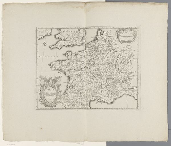
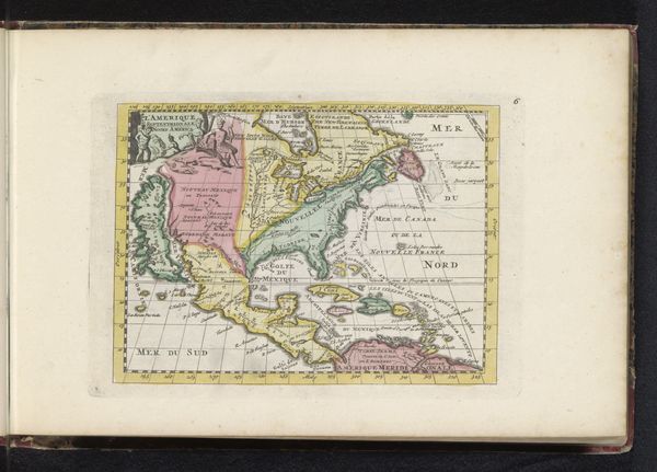
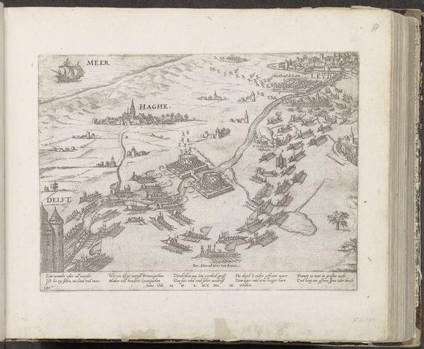
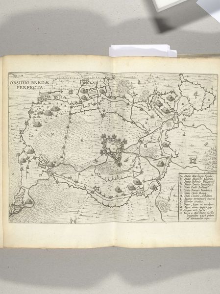
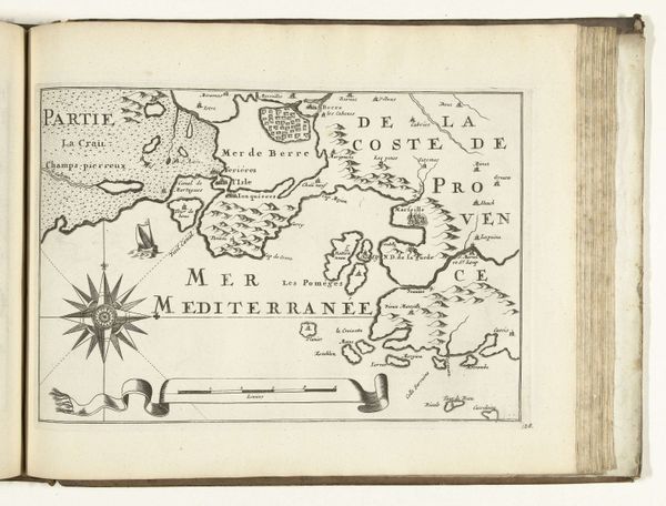
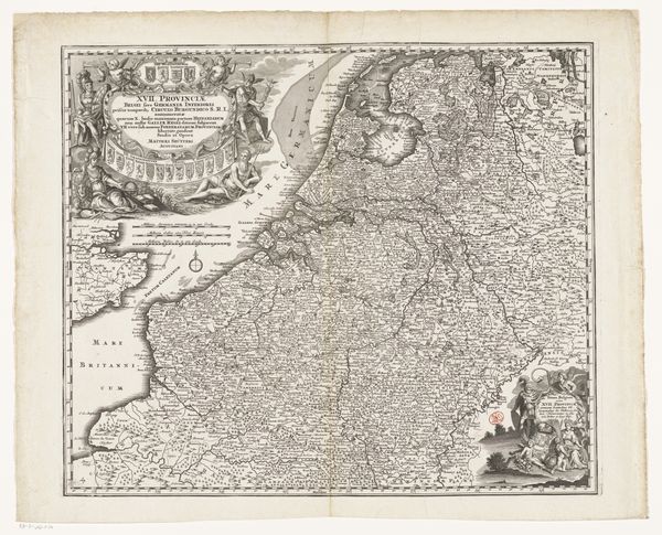
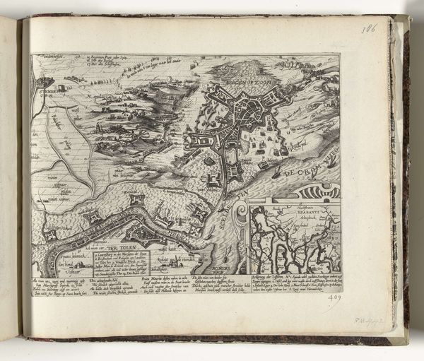
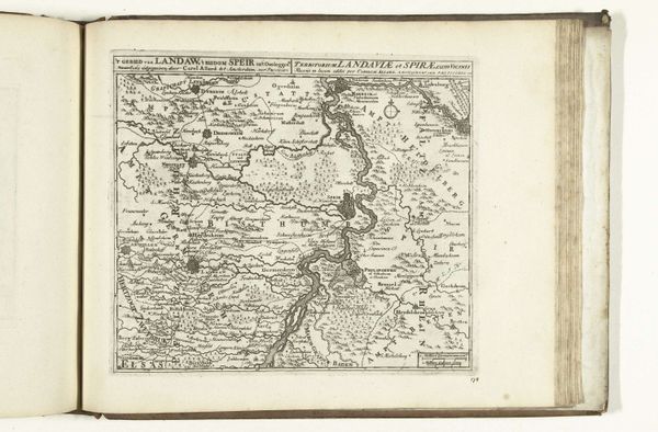
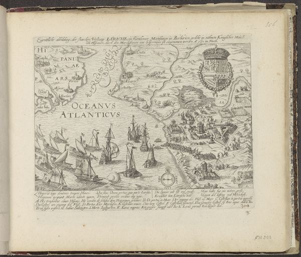
This is an anonymous rendering of Cagliari on Sardinia. Its structure is defined by a combination of topographical precision and allegorical elements. Observe how the sinuous coastline is delineated by delicate lines and muted colors, creating a sense of depth and texture on the land. The composition is balanced between the naturalistic representation of the island and the symbolic embellishments, such as the coat of arms held by a cherubic figure, floating above the map. This juxtaposition suggests a tension between empirical observation and symbolic representation. The formal qualities of this piece invite us to consider how cartography intersects with power and ideology. The map does not merely depict geographical space; it also constructs a particular vision of Sardinia, imbued with cultural and political significance. This interplay of form and content challenges the idea of maps as objective tools, revealing them to be complex cultural artifacts.
Comments
No comments
Be the first to comment and join the conversation on the ultimate creative platform.
