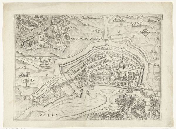
print, engraving
#
medieval
# print
#
cityscape
#
engraving
Dimensions: height 145 mm, width 140 mm
Copyright: Rijks Museum: Open Domain
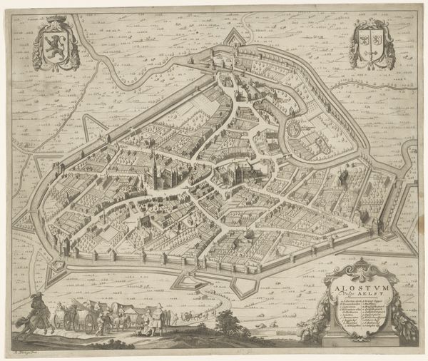
Curator: Here we have an engraving titled "Plattegrond van Arras," a cityscape rendering that, based on the Rijksmuseum records, dates sometime between 1652 and 1662. It's quite meticulously rendered, isn’t it? Editor: It's strikingly ordered, almost serene from this remove. Though, knowing the history of that era, it speaks to a very particular socio-political need for control and defense. The fortifications are the most prominent visual element. Curator: Absolutely. The symbolic weight of walled cities is immense. They are protective wombs, promising safety but also enforcing limitations. You see the two coats-of-arms? Notice how they are perched over the city almost like protective deities. Editor: Yes, they definitely visually assert power and authority. These weren't neutral records; these plans served strategic and propagandistic functions. Each building is carefully delineated; one can almost imagine the controlling power meticulously surveying their domain. Curator: Precisely! The walled garden city itself as an iconographic form. Consider how the river is utilized to both sustain and defend the city; life and boundary intertwine in the visual vocabulary of this image. Editor: And the tiny figures outside the walls? Their vulnerability is palpable in comparison to the seeming impenetrability of the city itself. It's a powerful visual hierarchy at play. Curator: I’d say that cartography, at this stage, still holds elements of subjective visual narrative, it blends utility with ideology. A statement about how a community conceptualizes itself. Editor: I agree. It also raises interesting questions about who was the intended audience and what role such images played in shaping their understanding of power, territory and community. Curator: Looking closer helps us reconsider the visual impact of something we think we already understand. Editor: Indeed. The more one contemplates this ostensibly neutral record, the more subjective intention emerges.
Comments
No comments
Be the first to comment and join the conversation on the ultimate creative platform.
More like this