drawing, print, paper, ink
drawing
baroque
paper
ink
cityscape
Dimensions: height 214 mm, width 282 mm
Copyright: Rijks Museum: Open Domain
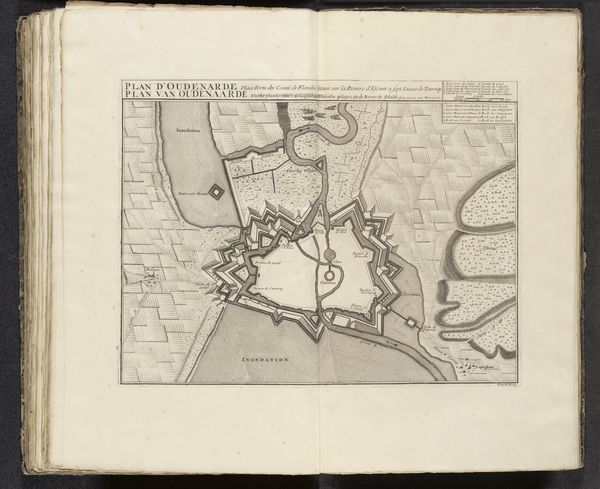
This is a 1726 map of Saint-Malo, meticulously drawn anonymously. Observe how the compass rose at the heart of this map doesn’t just point towards navigation, but towards a deeper, more profound human quest for orientation. The compass, a symbol of guidance, finds its echoes in the labyrinthine structures of ancient Crete. It is fascinating to see how Saint-Malo, with its formidable walls and strategic coastal placement, embodies a collective aspiration for security. Fortified cities, such as this, appear time and again throughout history, revealing our constant negotiation between vulnerability and defense. The walls protect the space within from perceived external threats, mirroring the psychological need for boundaries. Reflect upon this image and see if it conjures up the timeless human drama of seeking safe harbor amidst life’s turbulent seas. It is a dance between anxiety and assurance. Such symbols recur in the human experience, surfacing through our art and across history.
Comments
No comments
Be the first to comment and join the conversation on the ultimate creative platform.