print, watercolor
#
dutch-golden-age
# print
#
landscape
#
watercolor
#
watercolour illustration
Dimensions: height 239 mm, width 289 mm
Copyright: Rijks Museum: Open Domain
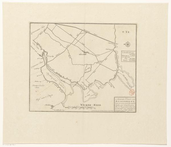
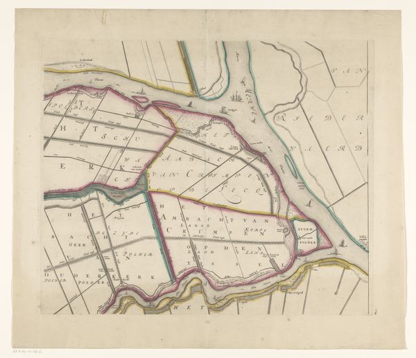
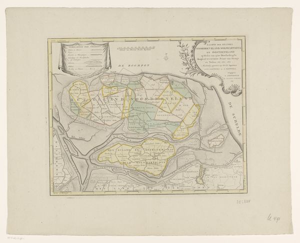
This "Kaart van Assendelft met dijkdoorbraken" was made in 1717 by an anonymous artist using ink and paint on paper. The map's material qualities offer a fascinating glimpse into its purpose and the processes involved in its creation. The choice of paper as a ground speaks to the intention of producing something easily transportable, reflecting the practical need for disseminating information about the landscape. The detailed lines, precise lettering, and carefully applied colors highlight the skill involved in crafting the map. Notice how the colors are used to delineate different geographical areas. In the context of the 18th century, maps like these were essential tools, produced by skilled craftsmen to serve administrative, military, and commercial needs. By focusing on materials and making, we recognize how the social and cultural significance is embedded within its very structure.
Comments
No comments
Be the first to comment and join the conversation on the ultimate creative platform.
More like this