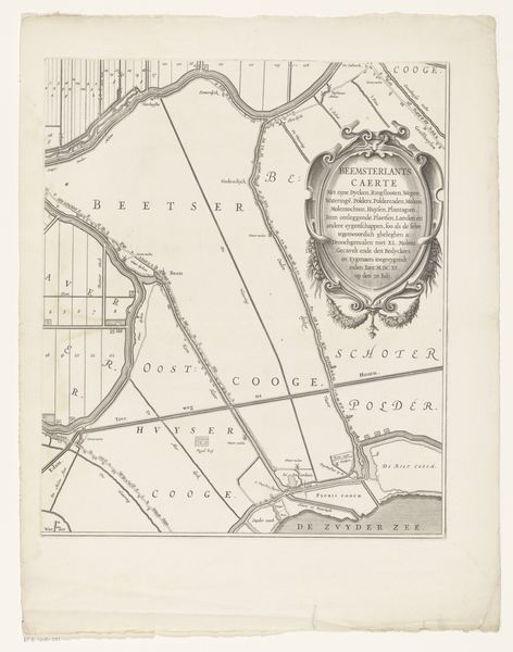
print, etching
#
dutch-golden-age
# print
#
etching
#
landscape
#
etching
#
cityscape
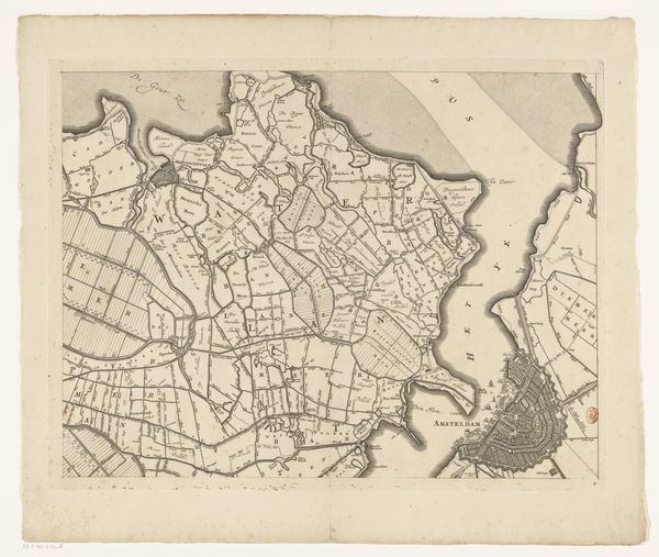
Dimensions: height 454 mm, width 586 mm
Copyright: Rijks Museum: Open Domain
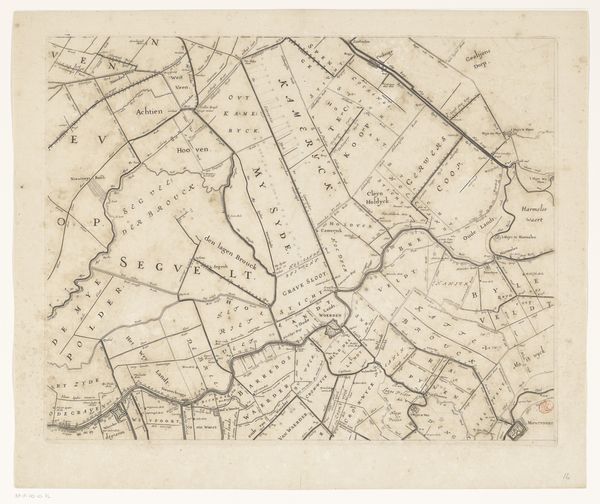
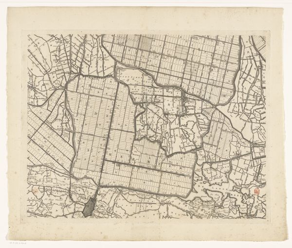
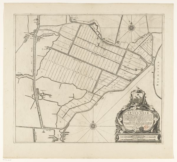
Editor: Here we have Coenraet Decker's 1680 etching, "Kaart van Kennemerland en West-Friesland." It's incredibly detailed; you can almost feel the flatness of the landscape depicted. It gives me an impression of how ordered their society was. What do you see when you look at this map? Curator: Well, looking at this etching, I see not just a geographical representation, but a document of resource management and labour. Consider the precise lines etched into the plate—they speak to a societal impulse to categorize and control land, shaping it to optimize its utility. Editor: Resource management? How so? Curator: Think about it. The map itself is a commodity. Etching allowed for the mass production of these images, facilitating trade and colonial ventures by making geographical information accessible. It represents control over their known world through resource visualization. What’s easily extractable, manageable, taxable... Editor: So, it is both a piece of art and a tool of economic power? I suppose those lines marking parcels aren’t just for aesthetic balance! They’re essentially delineating property and influence. Curator: Exactly. Consider the paper it’s printed on as well. The production of paper, ink, and the skilled labor involved in etching—these factors highlight a nexus of material and economic conditions in the Dutch Golden Age. Even the waste produced would be telling. The act of representation isn't just about reflecting the land; it's an act of shaping it through this image. What do you take away from it now? Editor: It has shifted my perception of landscapes. The landscape paintings aren't just scenery, they speak to a different era of exploitation. Curator: Precisely. Thinking about art this way allows us to reconsider its role in the power structures of its time.
Comments
No comments
Be the first to comment and join the conversation on the ultimate creative platform.
More like this