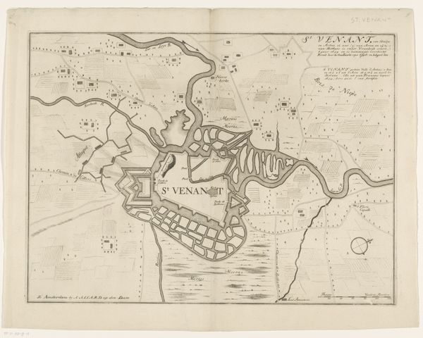
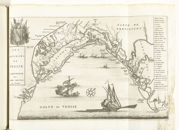
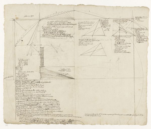
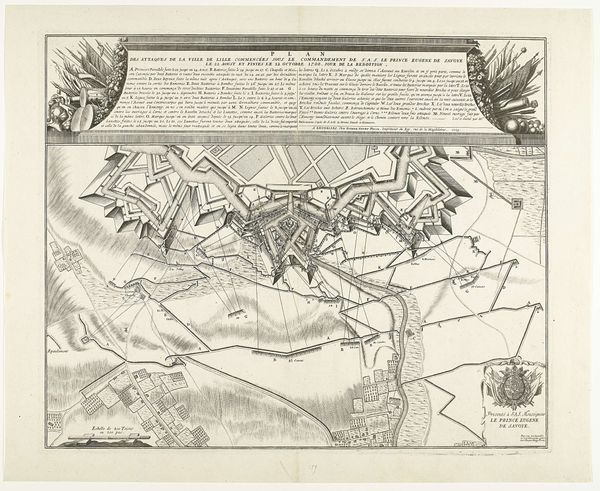
print, etching, ink, engraving
# print
#
etching
#
landscape
#
ink
#
geometric
#
engraving
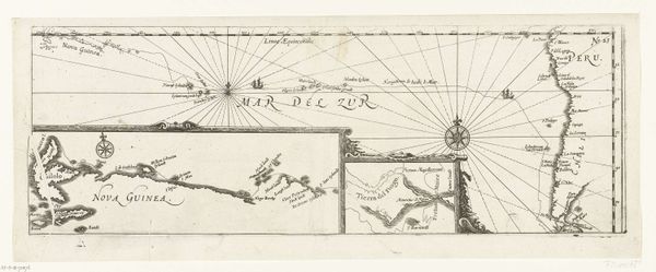
Dimensions: height 398 mm, width 520 mm
Copyright: Rijks Museum: Open Domain
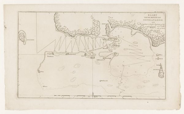
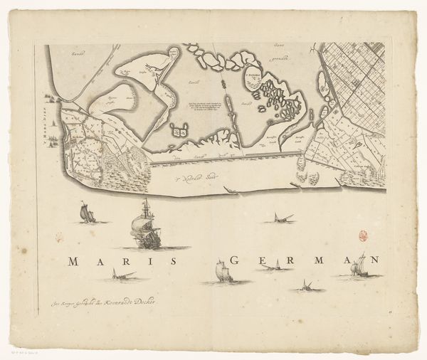
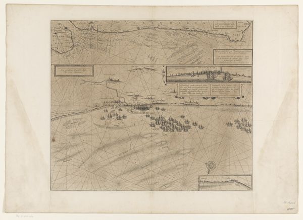
This is a sea chart of the English coast near the Dunes, created in 1639 by an anonymous artist. It's made with ink on paper, a relatively common material for the time, but the skill lies in the meticulous application. Look closely, and you'll see how the ink defines every contour, from the coastlines of Flanders and England to the depth markings in the sea. The lines are precise, born of a complex process of observation, measurement, and skilled hand work. The map is more than just ink and paper. It's a testament to the rise of maritime power, where accurate charts were strategic assets, crucial for trade and naval dominance. Each line on this chart represents labor – the labor of explorers, surveyors, and the artist themselves. This was a world where knowledge was power, and maps like these were tools of empire, charting not just geography, but also ambition and control. Considering materials, making, and context helps us recognize the true weight of this seemingly simple map. It challenges us to see beyond its aesthetic qualities and consider the social and economic forces that shaped its creation.
Comments
No comments
Be the first to comment and join the conversation on the ultimate creative platform.
More like this