drawing, print, ink, engraving
#
drawing
# print
#
pen sketch
#
ink
#
ink drawing experimentation
#
geometric
#
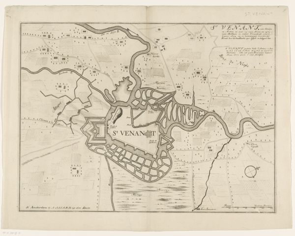
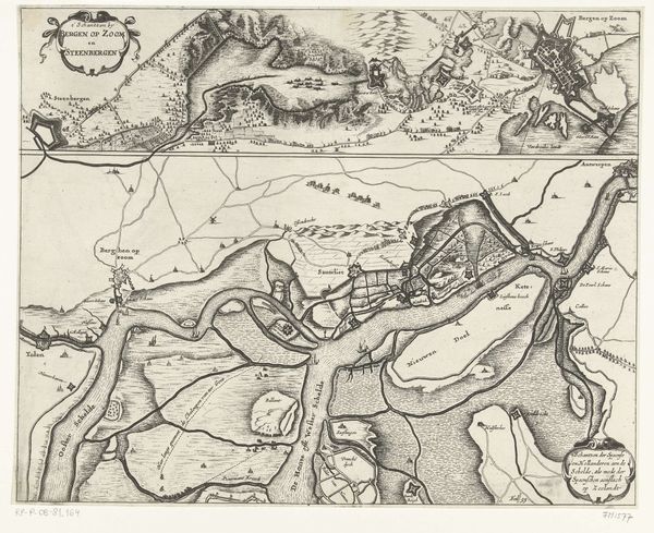
cityscape
#
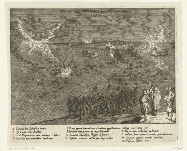
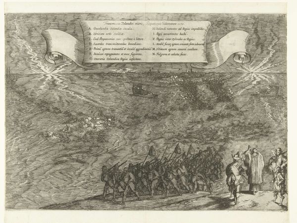
history-painting
#
engraving
Dimensions: height 457 mm, width 558 mm
Copyright: Rijks Museum: Open Domain
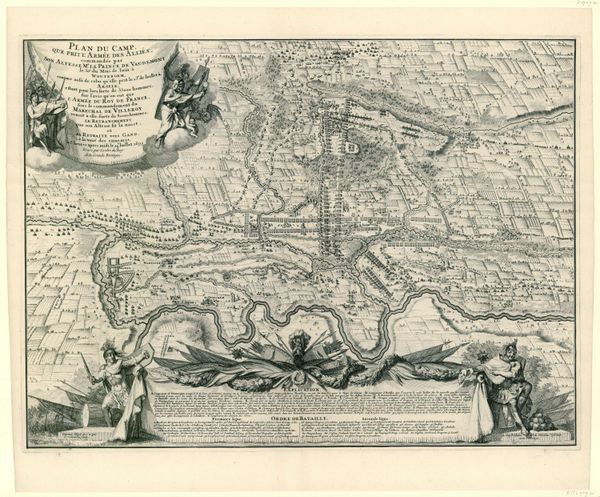
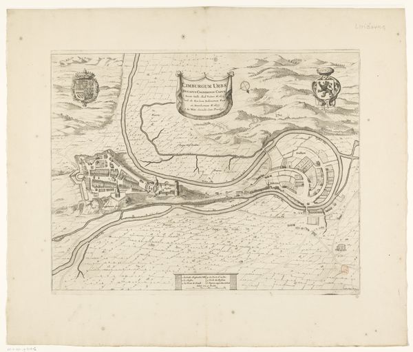
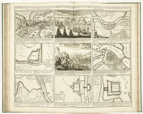
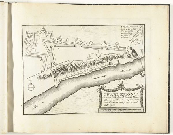
Curator: This is Jacobus Harrewijn’s “Kaart van het beleg van Lille, 1708,” made in 1709. It combines drawing and engraving, predominantly in ink, offering a detailed depiction of a historical event. Editor: My immediate impression is one of meticulous detail and cold geometry. The stark lines, sharp angles, and high contrast create a sense of rigid order, yet it also hints at the violence and chaos inherent in siege warfare. Curator: Absolutely. Harrewijn's process involved a layering of meticulous linework, moving from initial sketches to a more finished engraving. What is particularly intriguing is how this reproductive print was likely circulated and consumed as both a record of a specific event and potentially, a piece of political propaganda aimed to celebrate and legitimise military power and geopolitical aims of Prince Eugene of Savoy, as is evident from the the title. Editor: Yes, and let’s consider how form follows function. The precision used serves not merely to document but to create a specific visual rhetoric. See the interplay between light and shadow—the sharp contrasts which delineate forms and give volume—it emphasizes certain angles of the city. Semiotically, these lines serve to denote power, control, almost a dissection of Lille by the invading forces. The medium – ink and engraving - lends itself to this idea of clarity and control. Curator: Precisely. The materiality is critical too. Consider the labour involved: from Harrewijn's initial drawing process, perhaps surveying or working from other maps and records to the collaboration with engravers, whose skills were essential in producing multiples of this map. These are then objects that could be circulated throughout elite social circles involved or interested in the event and larger context surrounding the War of the Spanish Sucession. It moves beyond aesthetics into socio-economic territories. Editor: Ultimately, what remains is a compelling visualization of military strategy rendered through a stark yet beautiful formal language. Curator: Indeed. The convergence of process, purpose, and historical narrative leaves us to reflect on power structures inherent within cartography.
Comments
No comments
Be the first to comment and join the conversation on the ultimate creative platform.
More like this