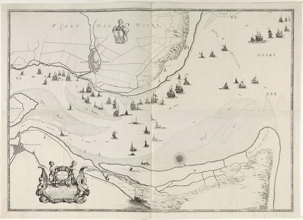
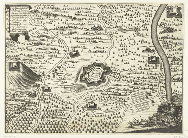
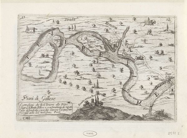
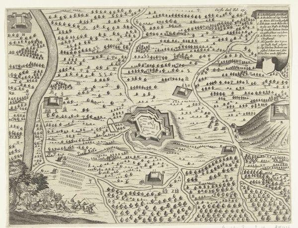
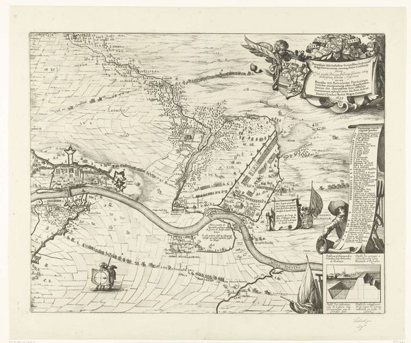
Kaart van de aanleg van de straatweg van Den Haag naar Scheveningen, 1664-1665 (derde blad) 1667 - 1713
0:00
0:00
frederikdewit
Rijksmuseum
drawing, print, etching, ink
#
drawing
#
baroque
#
mechanical pen drawing
# print
#
pen illustration
#
pen sketch
#
etching
#
landscape
#
personal sketchbook
#
road
#
ink
#
sketchwork
#
ink drawing experimentation
#
pen-ink sketch
#
pen work
#
sketchbook drawing
#
cityscape
#
storyboard and sketchbook work
Dimensions: height 420 mm, width 511 mm
Copyright: Rijks Museum: Open Domain
Curator: This print from the Rijksmuseum presents "Kaart van de aanleg van de straatweg van Den Haag naar Scheveningen, 1664-1665 (derde blad)", dating from 1667 to 1713. It's an etching and in drawing. Editor: Immediately striking is its almost diagrammatic quality—crisp lines mapping out a coastline. The scale is fascinating. Is it more technical document, or aspirational landscape? Curator: That perceived dichotomy is a critical tension within this artwork. Its materiality lies in the drafting process—the deliberate deployment of etching and ink. Consider it as the intersection of artisanal printmaking and bureaucratic documentation. It speaks to the labour of visualizing a new infrastructure. Editor: The composition fascinates. The rendering of topographical features such as coastlines, mountains and the indication of relative height are wonderful! Notice also the lettering and cartouches, so typical of baroque landscapes. The artist uses various heights of horizon to define landscape zones and guide the eye in a satisfying movement. Curator: And that "satisfying movement" signals the ambitions of the infrastructural project itself, shaping land and facilitating transit. The artist, Frederik de Wit, engages directly with a socio-economic transformation, the commodification of access and its accessibility of it. What are your views? Editor: The clarity and detail, especially in rendering distant ships, is technically admirable. We have to recognise that such landscape pieces were essential precursors to much later painting and printmaking developments. Curator: I'd say the technical skill is in service to social engineering—a physical manifestation of a growing mercantile society. It's less about aesthetics than it is about applied technology within its social reality, don't you agree? Editor: Ultimately, it offers an invaluable record of the historical landscape and its relationship to shipping that existed then, viewed from both technical and stylistic aspects. Curator: Yes. It reminds us that seemingly straightforward images were, in reality, intricately woven into the fabric of their making and its consumption of time and social status of making artworks.
Comments
No comments
Be the first to comment and join the conversation on the ultimate creative platform.
More like this