print, paper, engraving
#
baroque
# print
#
landscape
#
paper
#
cityscape
#
engraving
Dimensions: height 377 mm, width 490 mm
Copyright: Rijks Museum: Open Domain
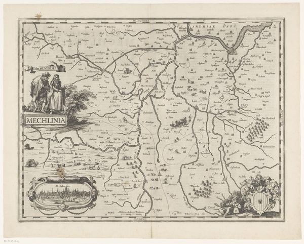
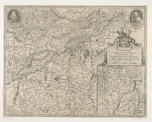
Curator: Let’s turn our attention to this fascinating engraved map titled "Kaart van een deel van Vlaanderen," or "Map of a Part of Flanders," created around 1624. Editor: It strikes me as more than just a map; it’s like a little window into another world. The delicate lines, the almost fairytale quality of the tiny buildings... It has a peculiar charm. Curator: It does. Maps in the 17th century served multiple purposes. Certainly, for navigation and governance, but also to project power and influence. The inclusion of detailed cityscapes and even figures in local dress suggests a desire to portray the region’s cultural identity, to establish the landscape and communities. Editor: Absolutely. See that little tableau on the left? Two figures next to the words "Mechelinia", one gazing out as if presenting their land. It brings it all alive and roots us right in Mechelen, doesn't it? Also, can we talk about those fonts? Delicious! So much care just lavished on letterforms. Curator: The text reflects the Humanist interest in classical forms. You will also notice other decorations, heraldry... all subtly reinforcing status and patronage. And yes, the artistry in the engraving itself is noteworthy. Imagine the skill needed to render such detail! The anonymous creator managed to squeeze entire worlds inside these frames. Editor: Worlds governed by aesthetics, perhaps, as much as accuracy! This wasn't made just to direct someone from A to B; it's a portrait, a slice of baroque imagination dropped onto paper. One feels like discovering little secrets woven into the image each time you come back to it. Curator: Indeed, a cultural artifact, inviting endless interpretation, offering multiple readings depending on what we prioritize. I often wonder about its role in shaping early modern understanding of place and belonging. Editor: A fitting reminder that even ostensibly "objective" depictions like maps always have stories tucked inside, shimmering beneath the surface. Curator: And sometimes, those stories are just as important as the factual representation. Editor: Perfectly put. Let's go see what other secrets this museum holds.
Comments
No comments
Be the first to comment and join the conversation on the ultimate creative platform.
More like this