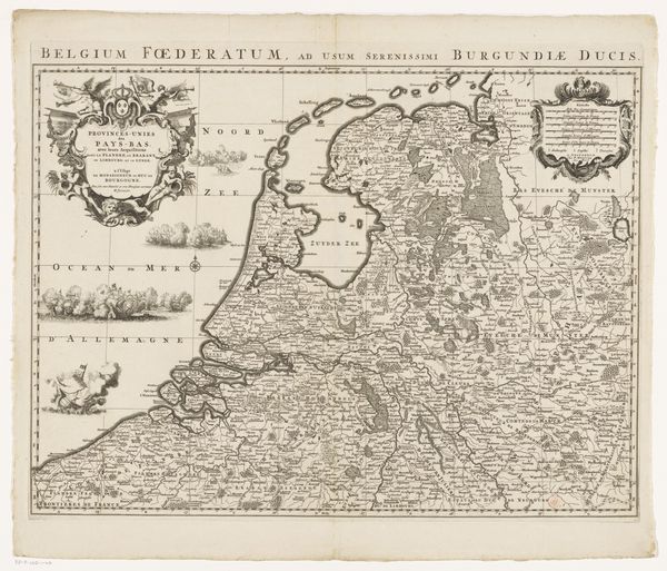
print, etching, engraving
#
baroque
#
dutch-golden-age
# print
#
etching
#
landscape
#
cityscape
#
engraving
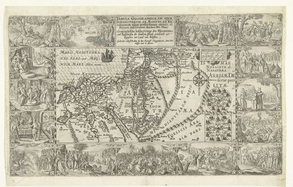
Dimensions: height 175 mm, width 283 mm
Copyright: Rijks Museum: Open Domain
This anonymous map, made sometime around 1600, depicts Nova Zembla with scenes from the Dutch expedition of 1596-1597. Cartography in the Netherlands at this time served as an important tool of exploration and empire-building. What we see here is not just a geographical representation but also a narrative of Dutch ambition and resilience. The scenes surrounding the map are visual records of the explorers' encounters and struggles in the Arctic, turning the map into a sort of commemorative history painting. Dutch mapmaking benefited from the economic structures that were put in place by the United East India Company. The Dutch Republic's dominance in trade routes depended upon gathering geographical knowledge. The Rijksmuseum's collection is an important resource for tracing these complex historical interactions. This image of Nova Zembla exemplifies the crucial role that art and visual culture played in shaping and reflecting the social, political, and economic realities of the time.
Comments
No comments
Be the first to comment and join the conversation on the ultimate creative platform.
More like this