drawing, graphic-art, print, etching, engraving
#
drawing
#
graphic-art
#
pen drawing
#
mechanical pen drawing
# print
#
pen illustration
#
etching
#
old engraving style
#
landscape
#
line
#
engraving
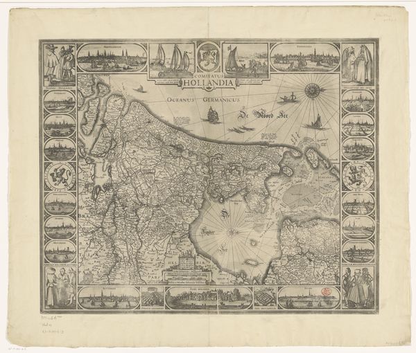
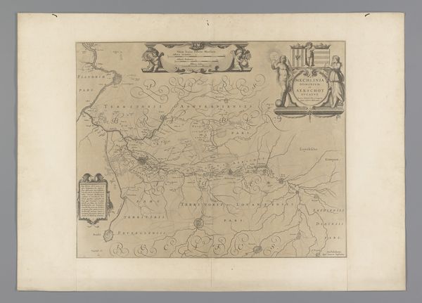
Dimensions: height 485 mm, width 610 mm
Copyright: Rijks Museum: Open Domain
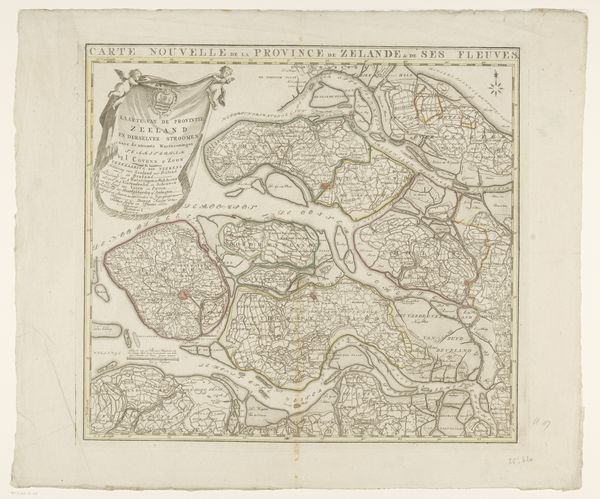
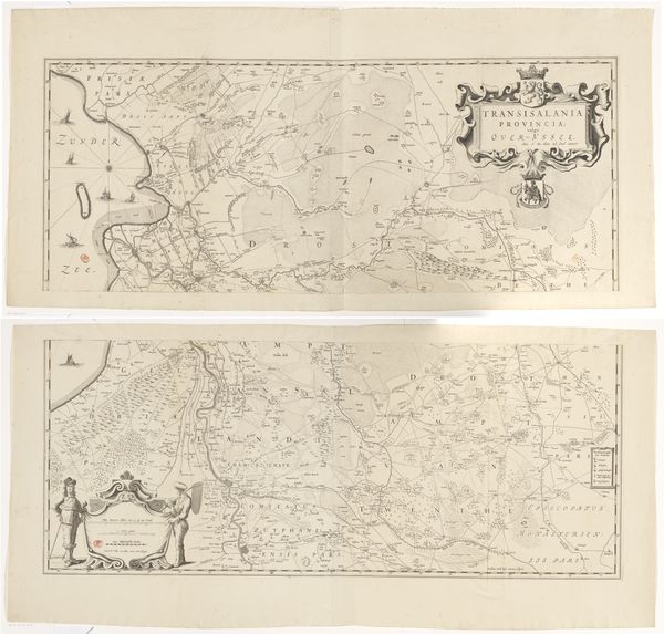
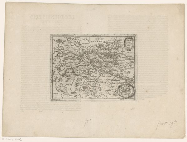
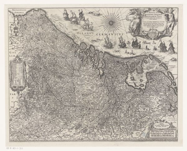
This detailed map, titled "Kaart van de Zeventien Provinciën", is an engraving by an anonymous artist. Its intricate lines and dense textual annotations create a tapestry that both informs and intrigues. The visual structure of the map emphasizes clarity and order. Look at how the cartographer methodically arranges the provinces, each delineated with fine lines and lettering. This ordered arrangement isn't just geographic; it's a statement about control and understanding of space. The border, adorned with depictions of local figures and cityscapes, acts as a frame, reinforcing the map's status as a carefully constructed representation. Maps like these go beyond mere wayfinding. They embody early modern Europe's burgeoning scientific rationalism. Consider how this piece reflects society’s impulse to categorize and codify the world, turning the chaos of the unknown into structured knowledge. It suggests a world that can be mastered through observation and representation.
Comments
No comments
Be the first to comment and join the conversation on the ultimate creative platform.
More like this