lithograph, print
#
lithograph
# print
#
linocut print
#
geometric
#
cityscape
Dimensions: height 590 mm, width 695 mm
Copyright: Rijks Museum: Open Domain
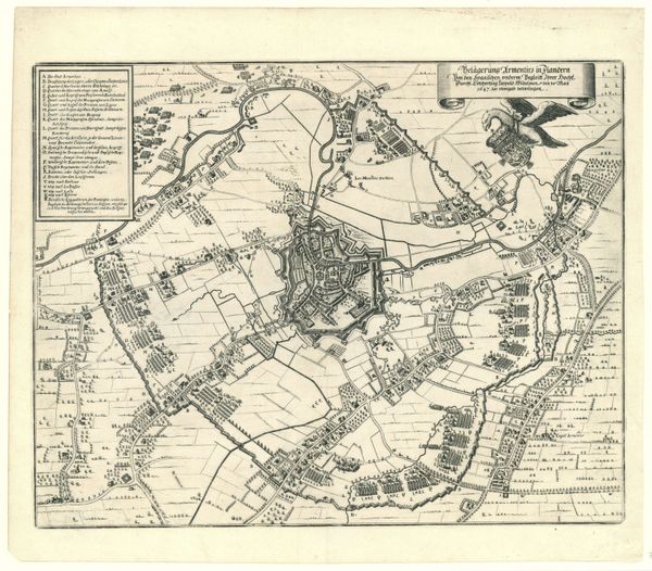
This is a plan of Hannover, of which the date and the author are unknown. The city is seen from above, in what appears to be a moment of urban development. The plan’s layout displays a fascinating interplay between order and organic growth, much like the human psyche. We observe the city's fortifications, those walls and moats that enclose it, which evoke a sense of protection, of boundaries drawn against external threats. But these very boundaries are not static; they are imbued with an idea of constant evolution. From ancient city-states to modern metropolises, the city plan has always reflected a deeper collective impulse: the desire for both security and expansion. Each street and square is a palimpsest of human activity, marked by centuries of aspirations. This map is thus not merely a cartographic document; it is a window into the soul of a city.
Comments
No comments
Be the first to comment and join the conversation on the ultimate creative platform.
More like this