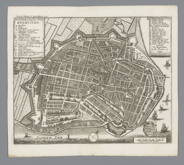
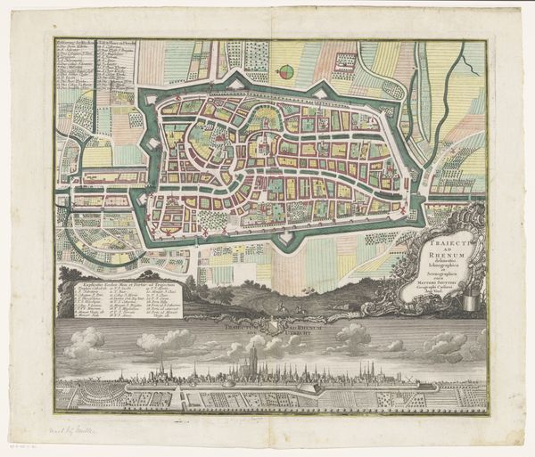
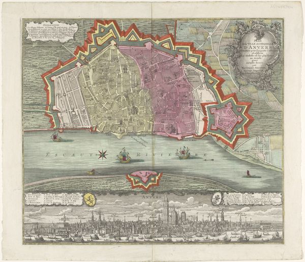
graphic-art, print, etching, engraving
#
graphic-art
#
baroque
# print
#
etching
#
landscape
#
etching
#
cityscape
#
engraving
Dimensions: height 506 mm, width 590 mm
Copyright: Rijks Museum: Open Domain
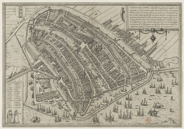
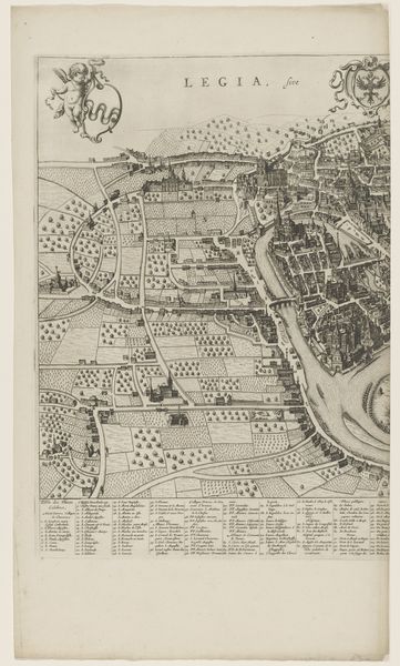
Curator: Look at this striking "Plattegrond en profiel van Rotterdam," a combined map and profile view created by Matthaeus Seutter III, dating from approximately 1731 to 1777. The engraving and etching provides a detailed snapshot of Rotterdam. Editor: My first impression is that of a highly ordered, almost idealized view. It’s colourful but muted. Despite its age, the composition feels incredibly modern, particularly the split between the map above and the city's profile below. Curator: Absolutely, and consider how that combination itself presents a deliberate visual argument. Maps during this period were as much about power and prestige as they were about geographical accuracy. Having both views underscores Rotterdam's significance as a trading center and fortified city. Note the strategic placement of symbols and figures! Editor: Precisely. The figures, likely allegorical, feel Roman, almost theatrical, adding another layer. Notice the contrast between the meticulously gridded city plan above, almost jewel-like, versus the busy, almost chaotic activity depicted in the skyline profile. Does this division intentionally highlight order versus reality? Curator: A vital point. Also, consider the history of Rotterdam itself. The period between 1731 and 1777 witnessed significant economic growth for the city, driven by maritime trade. Seutter’s print subtly reflects this prosperity and projects an image of stability and control. The placement of text feels considered, framing the map in such a way to be like looking at an altar painting. Editor: That economic aspect certainly feeds into my iconographic interpretation. The ships, repeated and abundant, stand as obvious symbols of Rotterdam’s power. I think about the Dutch East India Company, and the power invested in these shipping routes to Asia. They really speak of a globally reaching ambition. Curator: And let's not overlook the choice of using printmaking. It allowed for wide distribution of the image, serving almost as civic propaganda, boosting Rotterdam’s image across Europe. The map served a practical function but was also designed to convey prestige. Editor: Looking at "Plattegrond en profiel van Rotterdam" and discussing it together highlights that artwork transcends simply being a guide; it becomes a historical symbol of pride and mercantile force. Curator: Indeed, and the conversation encourages deeper reflection on how early modern European cities viewed—and wished to present—themselves.
Comments
No comments
Be the first to comment and join the conversation on the ultimate creative platform.
More like this