print, engraving
#
baroque
# print
#
cityscape
#
engraving
Dimensions: height 498 mm, width 588 mm
Copyright: Rijks Museum: Open Domain
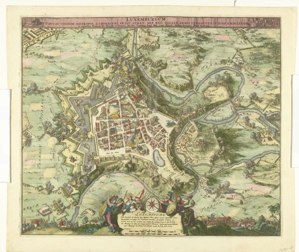
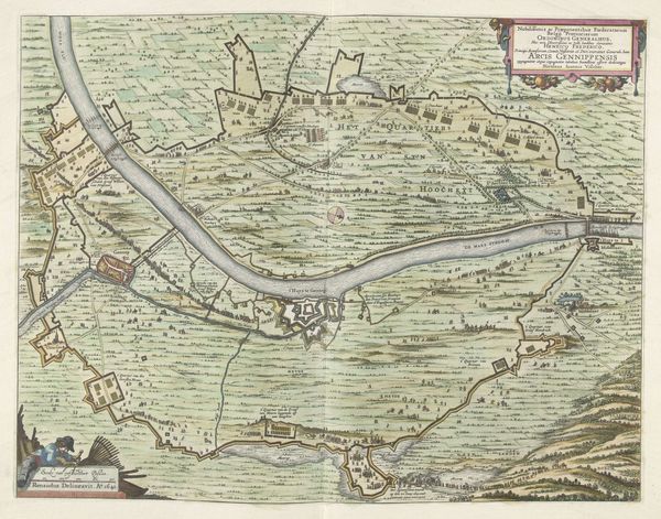
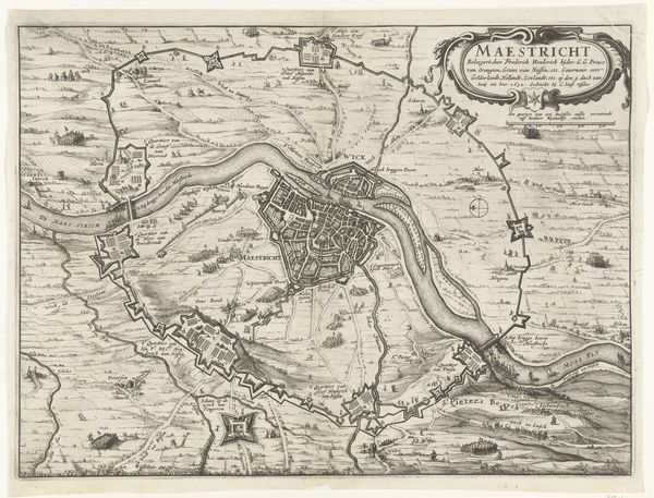
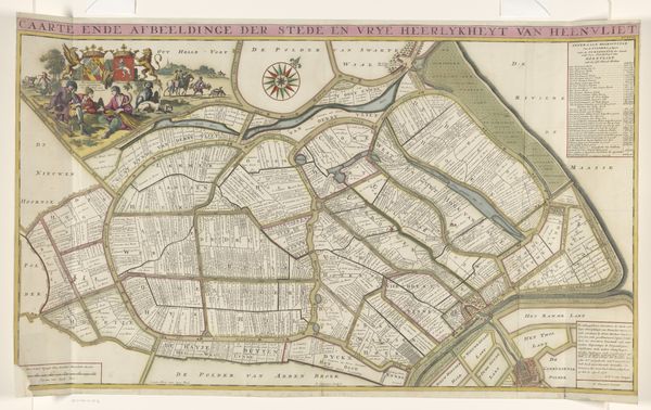
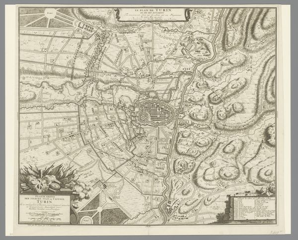
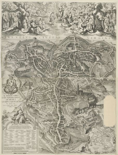
This map of Turin and its surroundings was made in 1706 by Nicolaes Visscher, using ink and paint on paper. Cartography at this time was a highly developed craft. This wasn't just about recording geographical information. It was about displaying power and knowledge, creating a symbolic representation of space. Visscher used engraving to create intricate lines, and the application of colour washes would have been a manual, skilled job. The map's detail demonstrates a high degree of technical skill and specialized knowledge. Look closely, and you’ll notice the map isn't just utilitarian. Decorative elements such as the cartouche, and depictions of the landscape, add an aesthetic dimension. Such maps were made for military and administrative purposes, but also for display. The quality of the materials and the labour-intensive production speak to the importance of this kind of image in the 18th century. It’s a reminder that even seemingly objective documents are the product of specific social and economic conditions.
Comments
No comments
Be the first to comment and join the conversation on the ultimate creative platform.
More like this