drawing, print, paper, ink
#
drawing
#
baroque
#
ink paper printed
# print
#
landscape
#
paper
#
ink
#
cityscape
#
watercolour illustration
#
watercolor
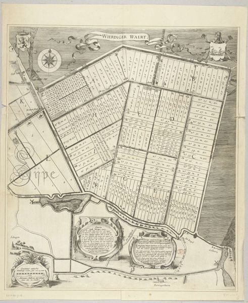
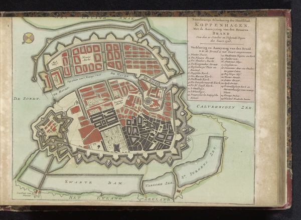
Dimensions: height 103 mm, width 150 mm, height 532 mm, width 319 mm
Copyright: Rijks Museum: Open Domain
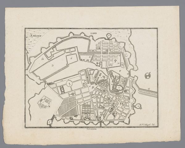
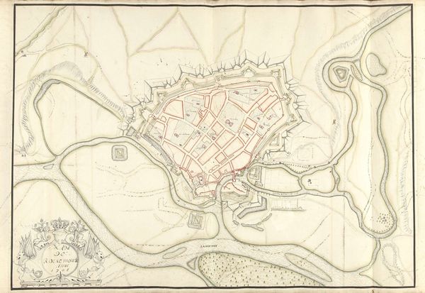
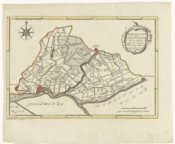
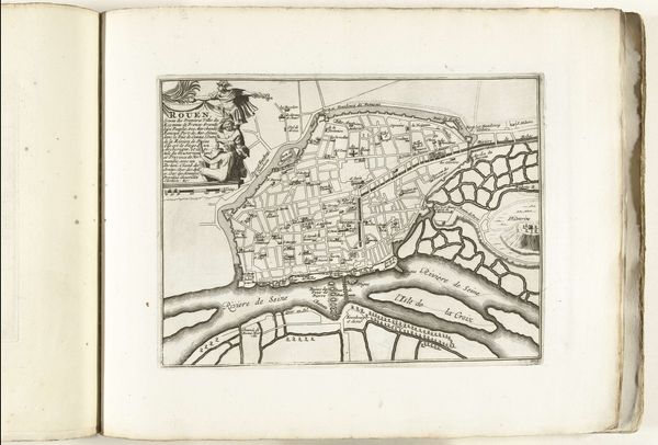
This map of Ancenis was made by an anonymous artist. Consider for a moment, what this representation leaves out. It gives us a sense of the geography, but what of the inhabitants? During the time this map was made, cartography was inextricably linked to power and control. Who was allowed to move freely, and who was restricted? Who lived where, and what did that say about their status? These maps served as tools for governance, reinforcing the authority of those in charge. They also influenced how people perceived the world, often legitimizing territorial claims and colonial endeavors. Look closely, and you might start to see how this seemingly neutral depiction is actually full of subtle biases and untold stories. It invites us to consider whose perspectives are prioritized.
Comments
No comments
Be the first to comment and join the conversation on the ultimate creative platform.
More like this