print, etching
# print
#
etching
#
landscape
#
etching
#
geometric
Dimensions: height 640 mm, width 560 mm
Copyright: Rijks Museum: Open Domain
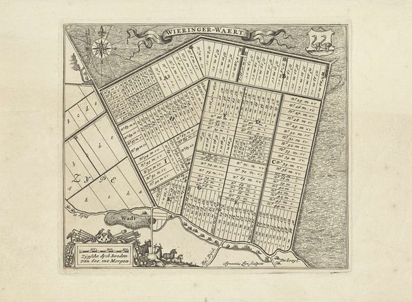
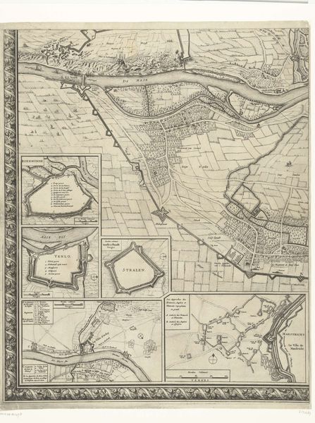
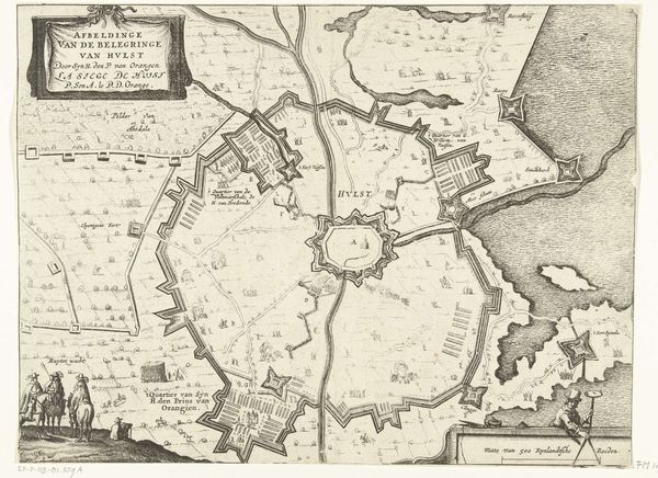
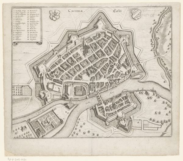
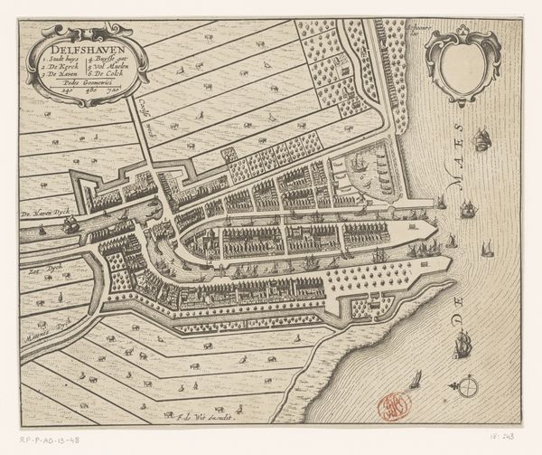
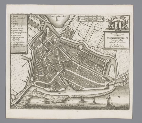
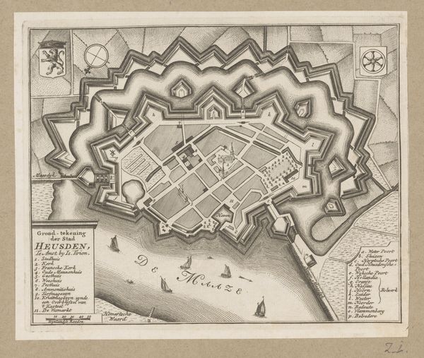
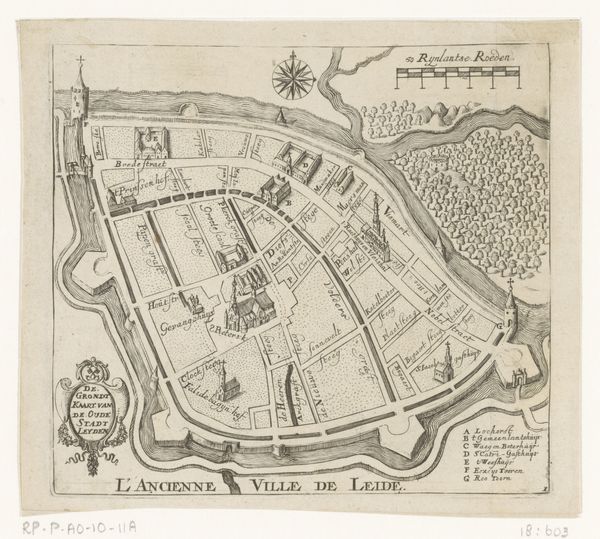
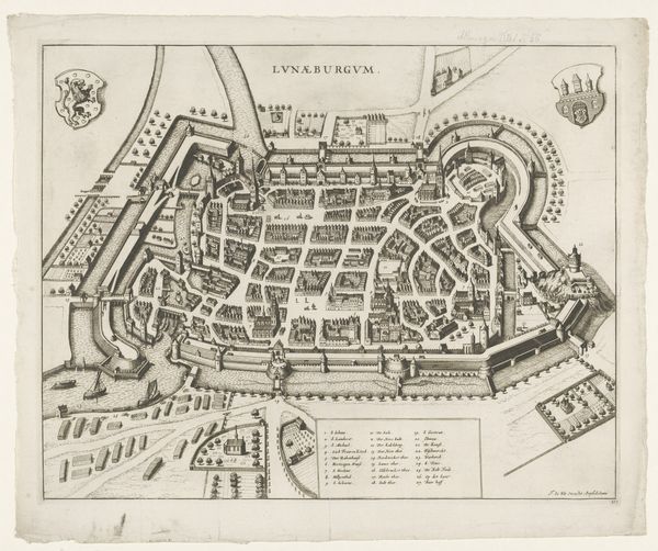
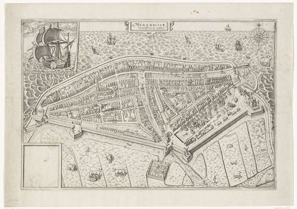
This is an anonymous map of the Wieringerwaard, made in 1611, with etching. Its meticulous details offer more than geographic information; they reveal the social values of the Dutch Golden Age. This map reflects the Dutch Republic’s burgeoning capitalism and its transformation of the landscape for economic gain. The neatly divided plots of land suggest a society organized around private property and agricultural production, while the precise measurements speak to a culture deeply invested in rational planning and control over nature. Consider the role of institutions like the Dutch East India Company in shaping this worldview, influencing not only economic policy but also cultural attitudes toward land and resources. To truly understand this map, further research into Dutch land reclamation projects and the social impact of these transformations could be considered. This map, therefore, serves as a reminder that art and cartography are always embedded in specific historical contexts.
Comments
No comments
Be the first to comment and join the conversation on the ultimate creative platform.
