print, engraving
#
dutch-golden-age
# print
#
landscape
#
cityscape
#
engraving
Dimensions: height 410 mm, width 311 mm
Copyright: Rijks Museum: Open Domain
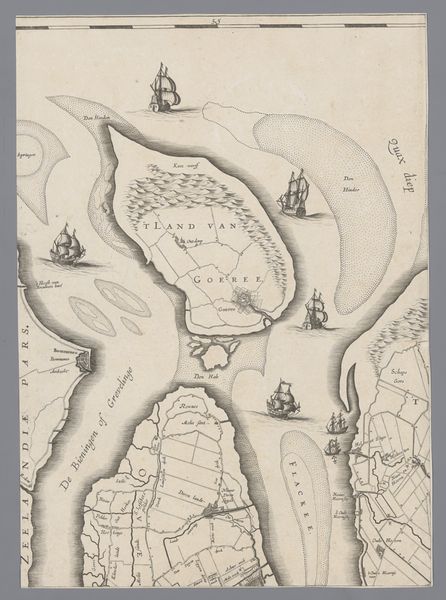
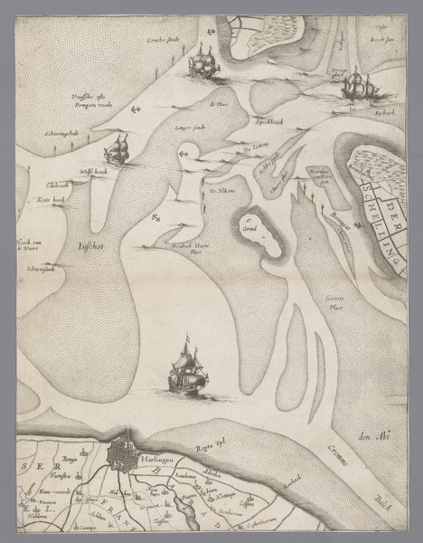
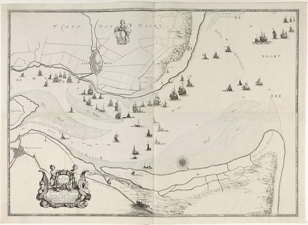
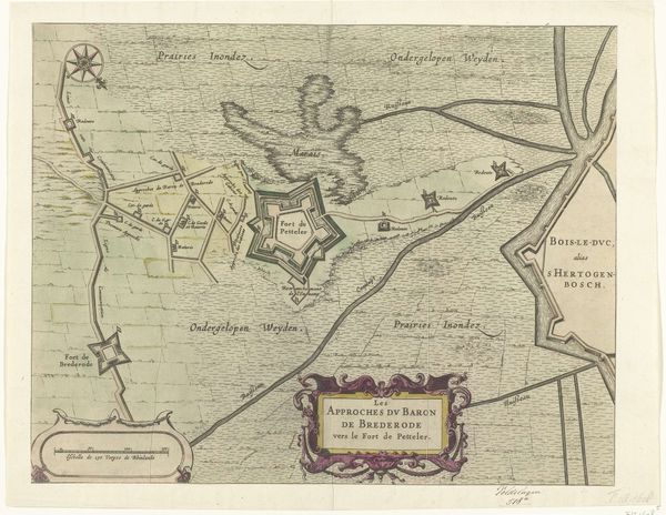
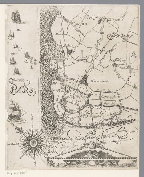
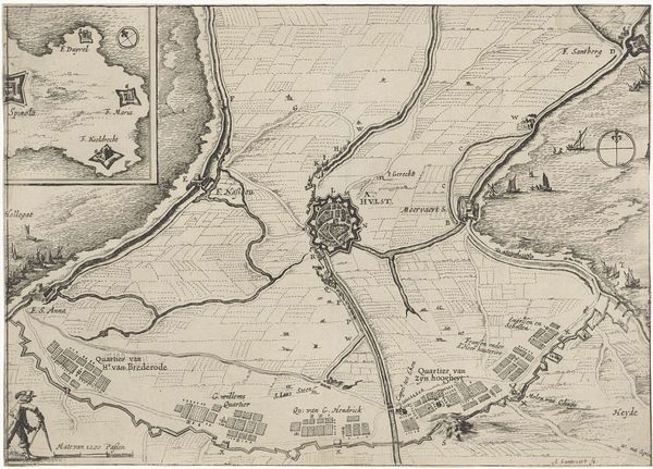
This map of Holland and Utrecht was made by Jacob Aertsz. Colom sometime before his death in 1673, using ink on paper. The key thing to notice is the method of production: engraving. The dense field of tiny hatched lines, all carefully incised with a burin, give the image its texture. Look closely, and you can see how much labor has gone into the production of this print. Each mark represents a deliberate act, a physical engagement with the material. This wasn't just a matter of artistic expression; it was a means of generating wealth. Maps were essential tools for navigation, trade, and military strategy. By understanding the material and processes involved in creating this map, we can appreciate its value not only as a work of art but also as a commodity deeply embedded in the economic and social fabric of its time.
Comments
No comments
Be the first to comment and join the conversation on the ultimate creative platform.
More like this