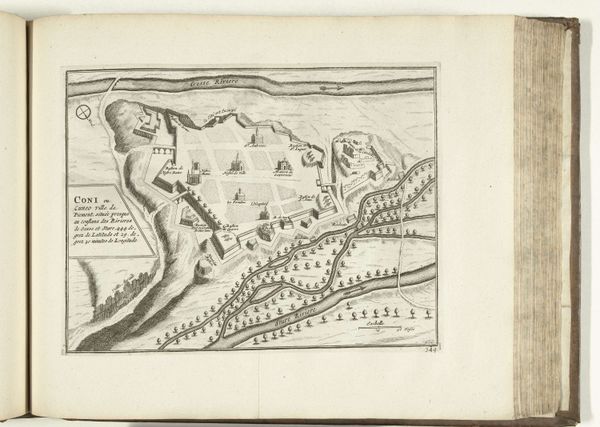
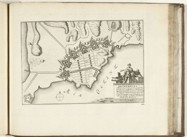
print, pen, engraving
baroque
mechanical pen drawing
pen illustration
pen sketch
old engraving style
personal sketchbook
ink drawing experimentation
pen-ink sketch
pen work
sketchbook drawing
pen
cityscape
history-painting
sketchbook art
engraving
Dimensions: height 222 mm, width 317 mm
Copyright: Rijks Museum: Open Domain
This map of Havana and its bay on Cuba was made in 1726, by an anonymous maker. It's an engraving, a process where lines are incised into a metal plate, which is then inked and printed. Consider the labor involved: the skilled hand meticulously carving lines to represent land, water, and fortifications. Cartography in this period wasn't just about geography; it was deeply entwined with colonial ambitions, power, and trade. Maps like these were vital tools for navigation, resource extraction, and military strategy. The clean, precise lines speak to the engraver's technical expertise, but also to the social context in which it was produced. Havana was a strategic port, and mapping its bay served economic and political interests. Looking closely, we can recognize the inherent qualities of the materials and processes that have imbued the artwork with cultural significance. The amount of work involved speaks to the values and power structures of its time. Let us remember the significance of materials, making and context to challenge traditional distinctions between fine art and craft.
Comments
No comments
Be the first to comment and join the conversation on the ultimate creative platform.