drawing, print, paper, ink, engraving
#
drawing
#
narrative-art
#
dutch-golden-age
# print
#
pen sketch
#
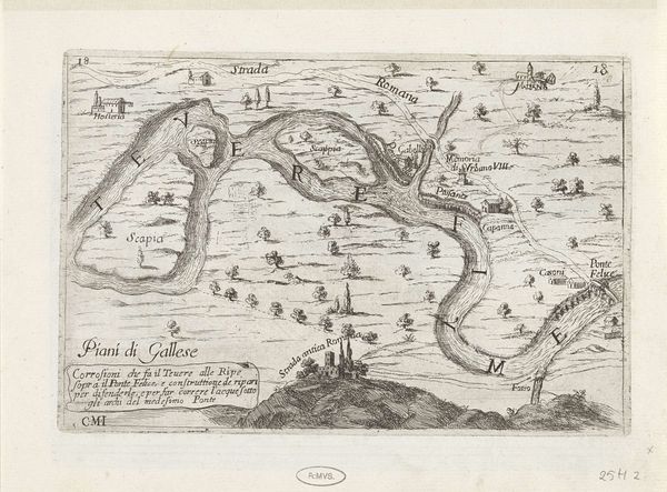
landscape
#
paper
#
ink
#
geometric
#
orientalism
#
cityscape
#
engraving
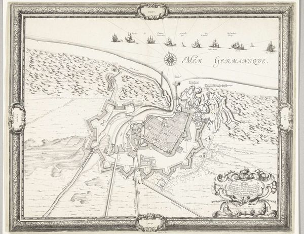
Dimensions: width 1056 mm, height 755 mm
Copyright: Rijks Museum: Open Domain
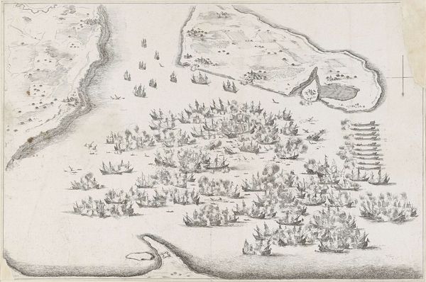
This map of the Maas estuary with postal routes, was created by Joost van Geel. It shows the river delta teeming with ships. These aren't just any ships; they're symbols of Dutch maritime power and mercantile ambition, emblems of a culture riding the waves of global trade. Consider the compass rose, traditionally guiding sailors. Here, it marks not just direction, but also the magnetic pull of commerce, of far-flung markets beckoning Dutch traders. Similar to the way the North Star has guided travellers, the compass is an ancient symbol that has been passed down, adapted, and reinterpreted throughout history. The ships call to mind other visual representations from different times and places. Think of how boats appear in ancient Egyptian funerary art, symbolizing the journey to the afterlife. Here, they convey the power of human innovation, as they set sail, full of hope and carrying the weight of a nation's aspirations.
Comments
No comments
Be the first to comment and join the conversation on the ultimate creative platform.
More like this