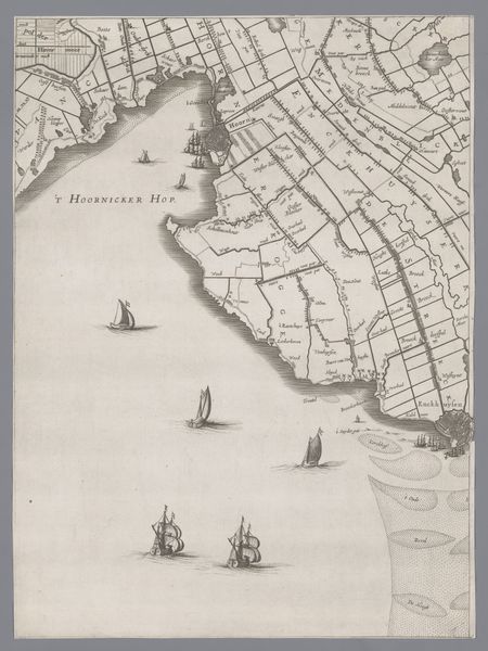
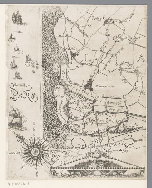
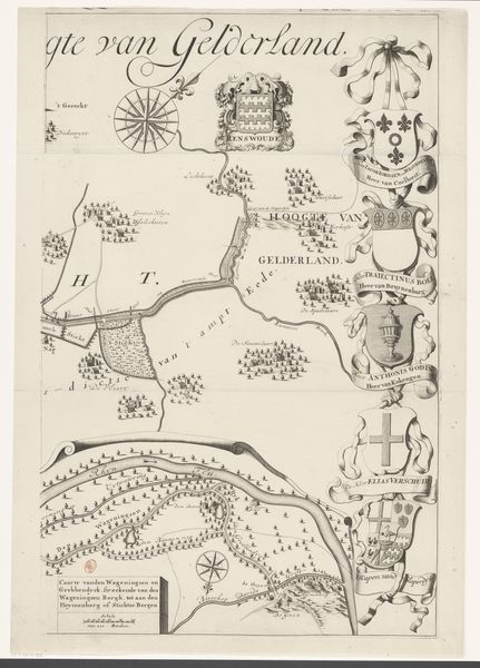
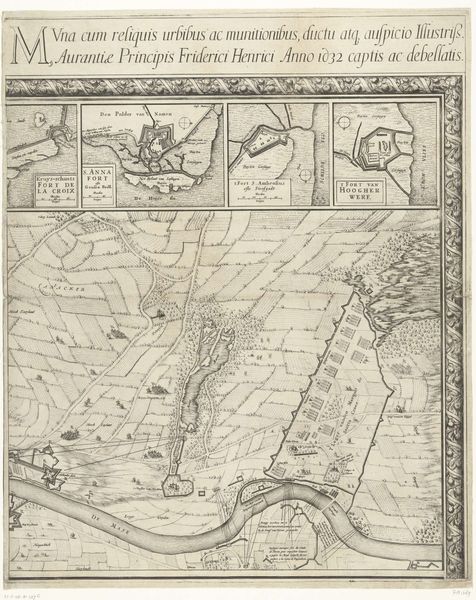
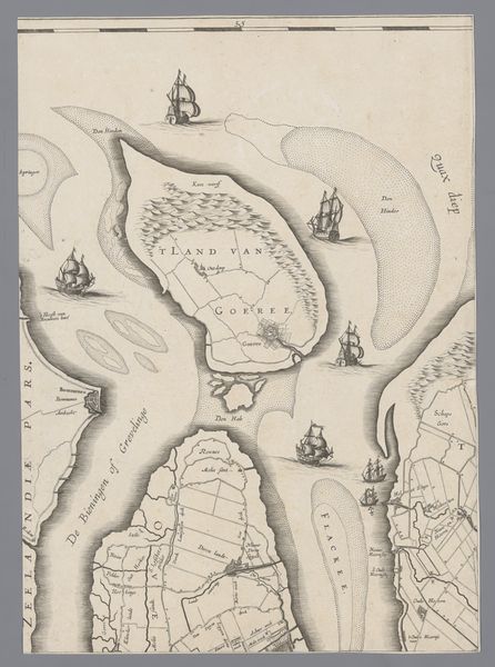
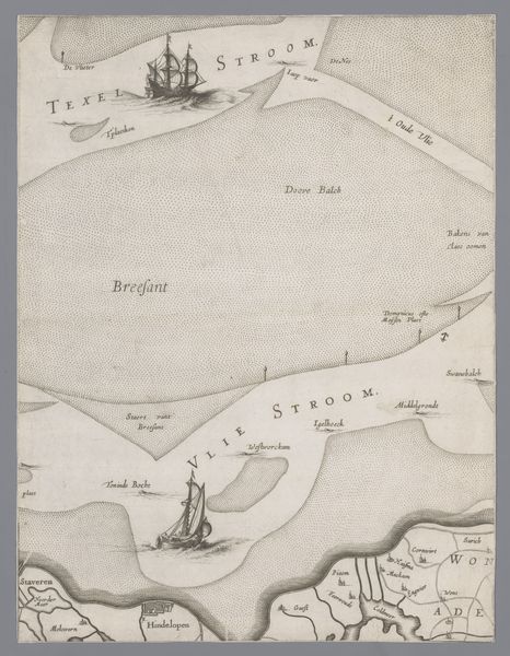
Kaart van het Graafschap Holland en Utrecht (plaat 20) 1639
jacobaertszicolom
aged paper
toned paper
light pencil work
quirky sketch
sketch book
personal sketchbook
sketchwork
sketchbook drawing
storyboard and sketchbook work
sketchbook art
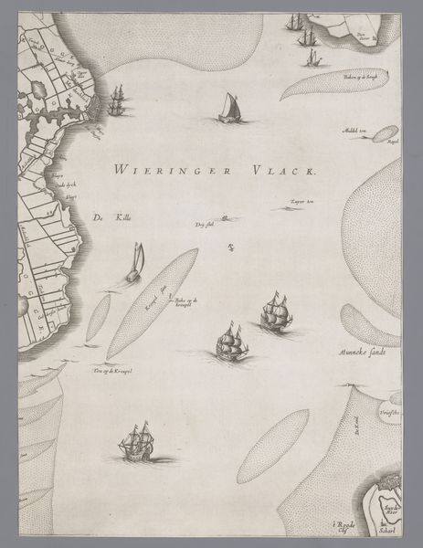
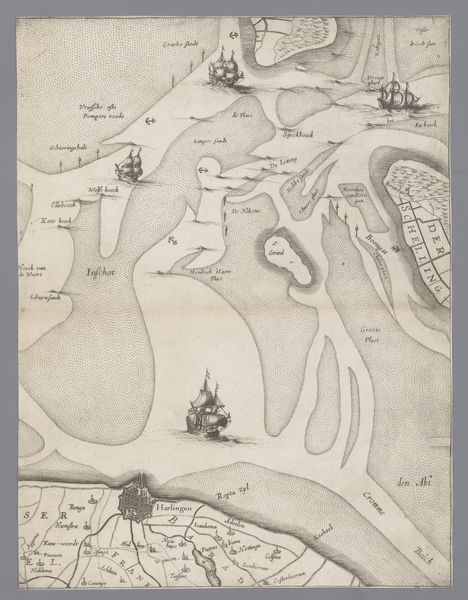
This detailed map of the islands of Vlieland and Terschelling, part of the Dutch province of Friesland, was created in 1639 by Jacob Aertsz. Colom. The map, which is on display at the Rijksmuseum, depicts the islands with an intricate level of detail. The map is full of intricate details like small boats, a compass with a fleur-de-lis, and the inscriptions on the map provide insight into Dutch nautical knowledge in the 17th century. The map's visual style combines precise cartographic detail with a delicate rendering of the water and ships. The map's historical importance lies in its ability to document the Dutch Republic's economic and maritime power during the Golden Age.
Comments
No comments
Be the first to comment and join the conversation on the ultimate creative platform.
More like this