drawing, ink
#
drawing
#
baroque
#
pen sketch
#
sketch book
#
landscape
#
personal sketchbook
#
ink
#
sketchwork
#
ink drawing experimentation
#
pen-ink sketch
#
pen work
#
sketchbook drawing
#
storyboard and sketchbook work
#
sketchbook art
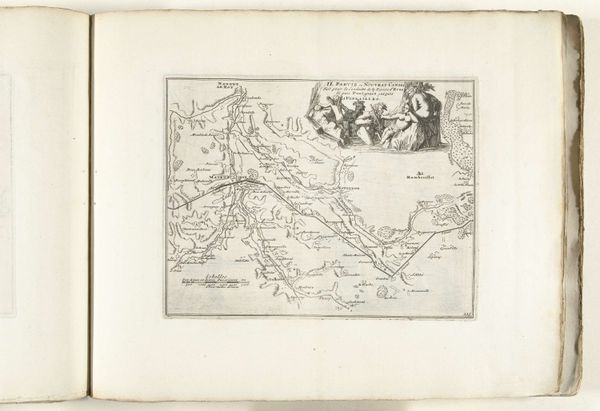
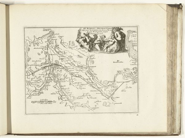
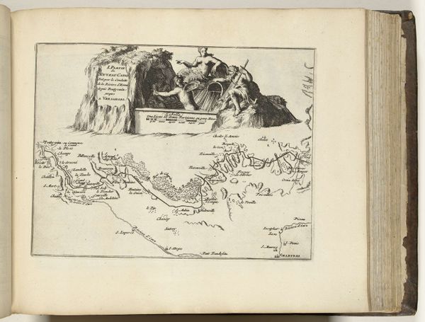
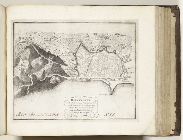
Dimensions: height 203 mm, width 284 mm
Copyright: Rijks Museum: Open Domain
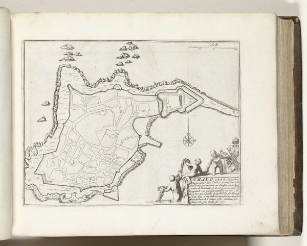
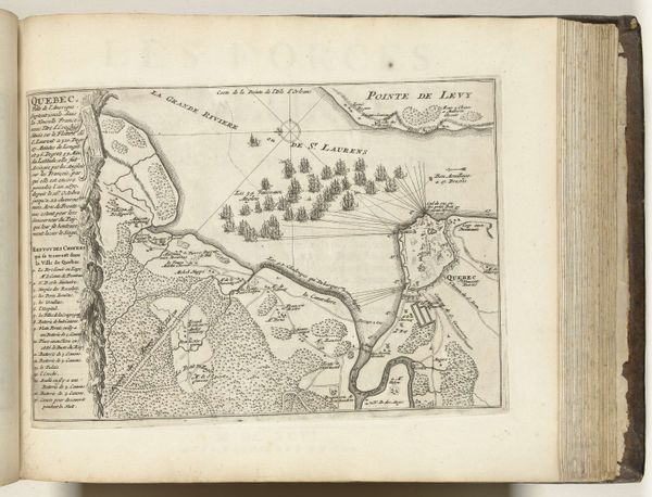
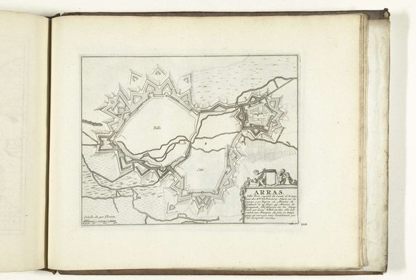
This map of the area around Brest was anonymously made around 1693 to 1695. Note the figures at the top, dressed in a mixture of classical and contemporary clothing. They point to the importance of the area, which is rendered with careful precision. This map was produced in the context of rising European colonialism and conflicts between empires. Brest was, and remains, an important naval port in France. Maps like this one weren't just about navigation. They were tools of power, defining territories, and asserting control over land and sea. To truly understand this map, we must examine not just its geography, but the political, economic, and military strategies of the era. Historians use various resources, such as archival documents and period texts, to reveal the complex relationship between art, power, and society. In this way, we can better understand the social forces that shaped its creation and meaning.
Comments
No comments
Be the first to comment and join the conversation on the ultimate creative platform.
More like this