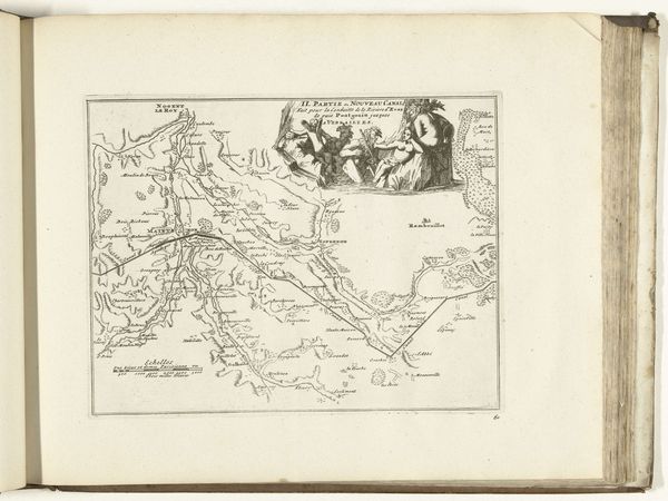
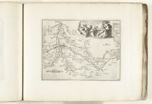
Kaart van het nieuwe kanaal van Pontgouin naar Versailles (deel I), 1726 1726
0:00
0:00
anonymous
Rijksmuseum
drawing, print, paper, ink, engraving
#
drawing
#
baroque
# print
#
pen sketch
#
paper
#
ink
#
ink drawing experimentation
#
history-painting
#
engraving
Dimensions: height 206 mm, width 268 mm
Copyright: Rijks Museum: Open Domain
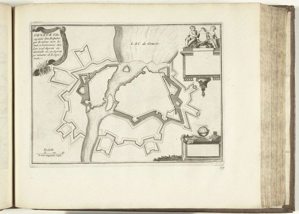
This is an anonymous map, made in 1726, detailing the canal from Pontgouin to Versailles. The printmaking process itself, likely etching or engraving, is crucial to understanding its context. Maps like these weren't just about geographical accuracy. They were tools of power, visualizing and controlling territory, and celebrating feats of engineering. Look closely, and you'll see the amount of labor involved in creating such a massive waterway, implied in the allegorical figures above the map itself. The canal would have required armies of workers, digging and shaping the landscape by hand. The print, with its precise lines and symbolic imagery, conveniently obscures this human cost, presenting a vision of progress and royal authority. This map reminds us that even seemingly objective documents are shaped by the social and political forces of their time, and that they can teach us about the labor that went into building the world around us.
Comments
No comments
Be the first to comment and join the conversation on the ultimate creative platform.
More like this