drawing, graphic-art, print, ink, woodcut
#
drawing
#
graphic-art
# print
#
landscape
#
ink
#
geometric
#
woodcut
#
line
#
cityscape
#
northern-renaissance
Dimensions: height 220 mm, width 392 mm
Copyright: Rijks Museum: Open Domain
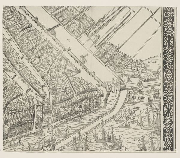
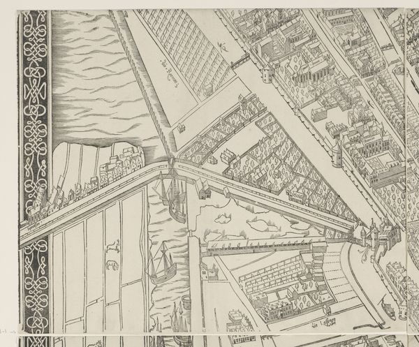
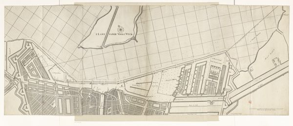
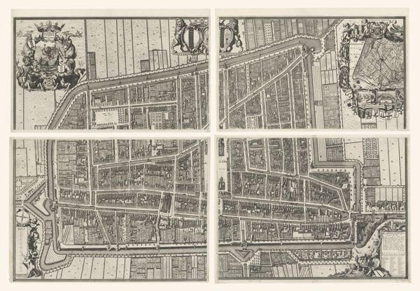
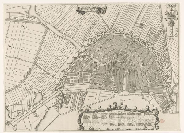
This is the second part of Cornelis Anthonisz.’s woodcut map of Amsterdam, created in 1544. The map offers us insight into the city during a period of significant transformation when Amsterdam was emerging as a vital center for trade and commerce. As you observe the intricate details of the city’s layout, consider the perspective of its residents during this era. How might their identities as merchants, artisans, or navigators shape their daily lives and interactions within the urban environment? The architecture, infrastructure, and waterways depicted in the map reflect the city’s economic activities and social hierarchies. Amsterdam’s growth and prosperity were intertwined with global trade networks, including the exploitation of resources and labor in distant lands. Consider how the map not only represents the city’s physical space but also embodies the complex dynamics of power, exchange, and cultural interaction that defined Amsterdam’s identity during this transformative period.
Comments
No comments
Be the first to comment and join the conversation on the ultimate creative platform.
More like this