drawing, print, ink, engraving
#
drawing
#
dutch-golden-age
# print
#
ink
#
geometric
#
cityscape
#
engraving
Dimensions: height 415 mm, width 574 mm
Copyright: Rijks Museum: Open Domain
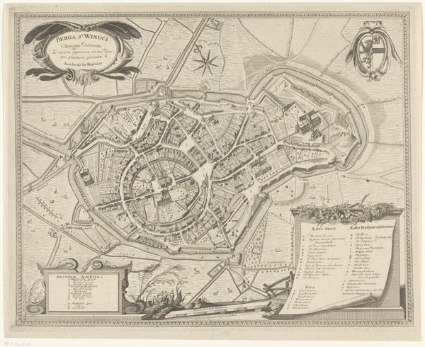
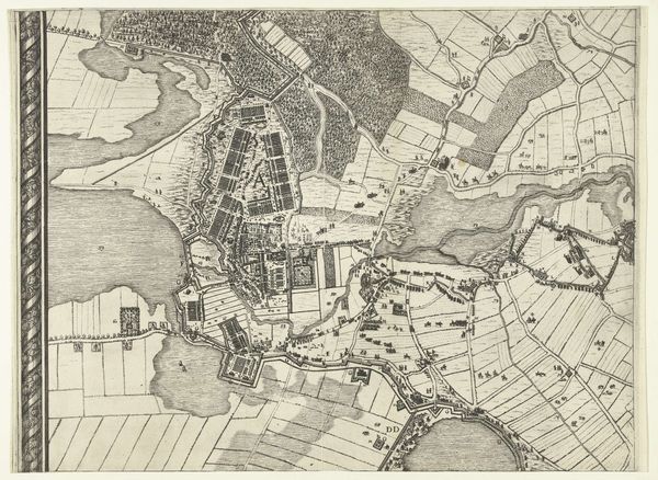
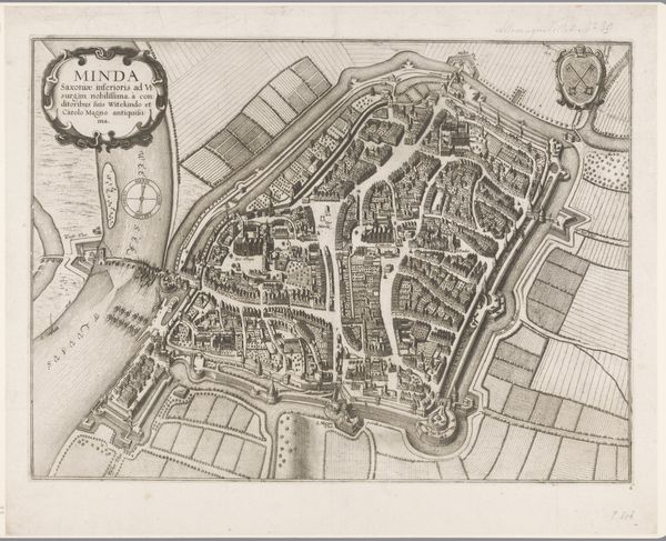
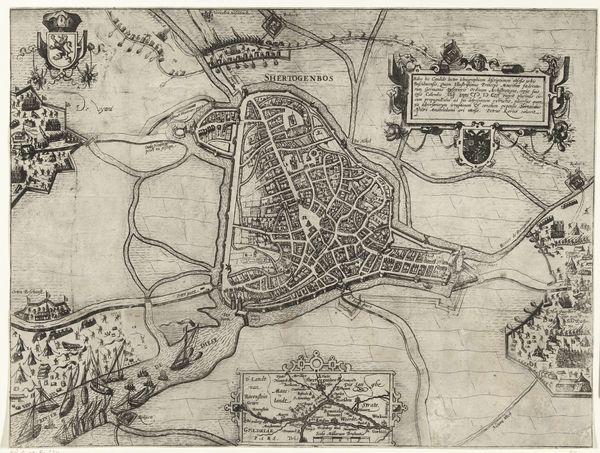
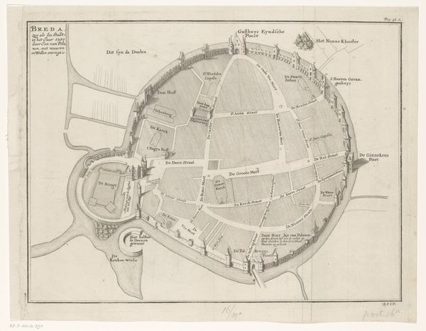
Editor: So, we're looking at this beautiful, intricate map: "Plattegrond van Amsterdam en omliggende gebieden," from around 1693 or 1694. It's an ink drawing, an engraving, a print, all in one. What strikes me is how deliberate and almost dreamlike it feels, not necessarily just a practical document. What do you see when you look at this piece? Curator: A city laid bare, or perhaps born into order. The lines! It's almost dizzying, isn’t it? It makes me think about how a city is just a collection of stories intersecting, like all these lines on the page. Do you see how the waterways curve like veins through a body? It feels almost alive. Editor: Yes, it's almost like a living thing, which is interesting considering it’s just lines on a page. Curator: I wonder what someone from that time might have felt holding this map. Pride? Ownership? Or perhaps a sense of being contained, organized, even controlled? There's a certain beauty in that control, but maybe a loss of wilderness too. Don’t you think? Editor: That’s a good point, the sense of control. I hadn't thought about the wilderness being pushed back by it. It’s more than just a city plan. It has captured some deeper meaning! Curator: Exactly. It is almost melancholic, thinking about everything paved over, regulated… Do you know, it also hints at the Dutch mastery of water management at the time, a constant negotiation with the sea. This little drawing shows ambition. What I do notice is that every tiny object and house is rendered with so much attention to detail. Editor: Absolutely! I’ll never look at maps quite the same way again, after learning all that. Thanks! Curator: My pleasure. Art changes you as much as you change it, after all.
Comments
No comments
Be the first to comment and join the conversation on the ultimate creative platform.
More like this