graphic-art, print, engraving
#
graphic-art
#
baroque
# print
#
landscape
#
history-painting
#
engraving
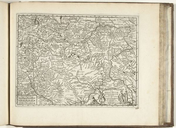
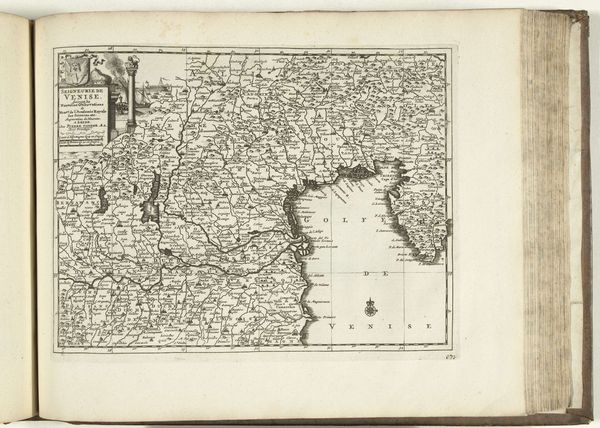
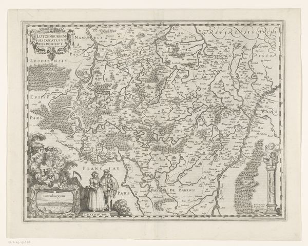
Dimensions: height 232 mm, width 302 mm
Copyright: Rijks Museum: Open Domain
This is an anonymous map of Hungary, made in 1726. At the time, mapmaking was a tool of power, used to define territories and assert control, especially for the expanding Habsburg Empire. Hungary was a contested space, having been partially under Ottoman rule until the late 17th century, then becoming part of the Habsburg monarchy. This map reflects that transition, attempting to create a sense of order and legibility in a region undergoing significant political and cultural shifts. The inclusion of figures in traditional Hungarian attire serves to represent the local population within this new imperial framework. Historians can use maps like this, alongside other documents, to understand how empires exerted their influence. By studying these visual representations, we can reveal the complex interplay between cartography, power, and cultural identity in early 18th century Europe.
Comments
No comments
Be the first to comment and join the conversation on the ultimate creative platform.
More like this