drawing, print, paper, ink, engraving
#
drawing
#
baroque
# print
#
paper
#
ink
#
cityscape
#
engraving
Dimensions: height 186 mm, width 246 mm
Copyright: Rijks Museum: Open Domain
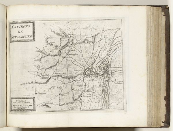
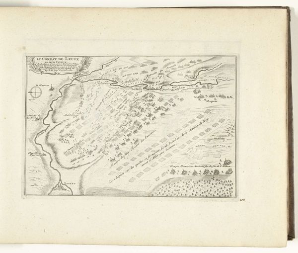
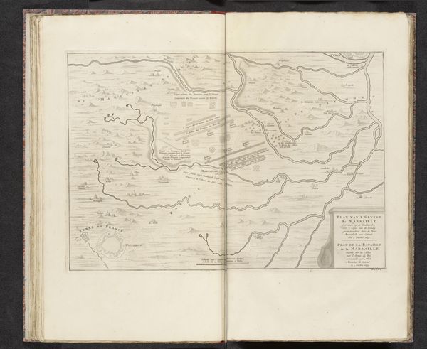
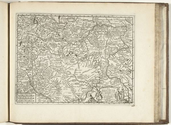
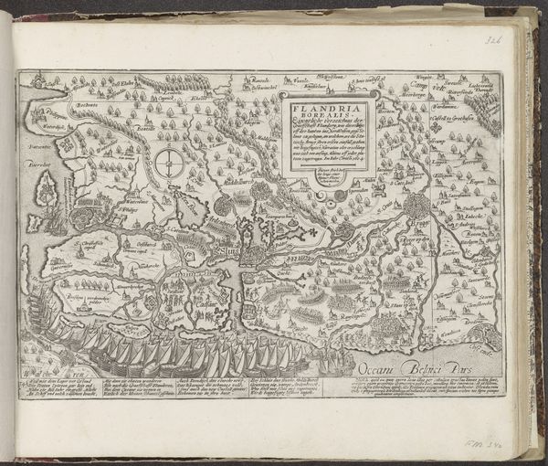
This map of Frankfurt am Main and its surroundings was made around 1693 to 1696 by an anonymous artist. It is an engraving, a printmaking technique with a rich history tied to information, trade, and power. The engraver would have used a tool called a burin to carve lines directly into a copper plate. Ink is then applied to the plate, and then wiped clean, remaining only in the incised lines. Finally, paper is pressed against the plate, transferring the inked image. The dense network of lines creating shading and texture gives you a sense of the labor involved in its production. This map wasn't just about geographical accuracy, it was also a statement of civic pride and control. Maps like these served the needs of merchants, landowners, and military strategists. By understanding the materials and processes behind this engraving, we realize that it is much more than just a picture. It is an artifact loaded with social and cultural meaning.
Comments
No comments
Be the first to comment and join the conversation on the ultimate creative platform.
More like this