drawing, print, paper, ink, engraving
#
drawing
#
aged paper
#
toned paper
#
baroque
# print
#
sketch book
#
perspective
#
paper
#
personal sketchbook
#
ink
#
sketchwork
#
geometric
#
ancient-mediterranean
#
pen-ink sketch
#
pen work
#
sketchbook drawing
#
cityscape
#
history-painting
#
storyboard and sketchbook work
#
sketchbook art
#
engraving
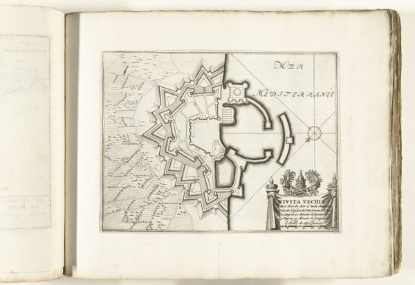
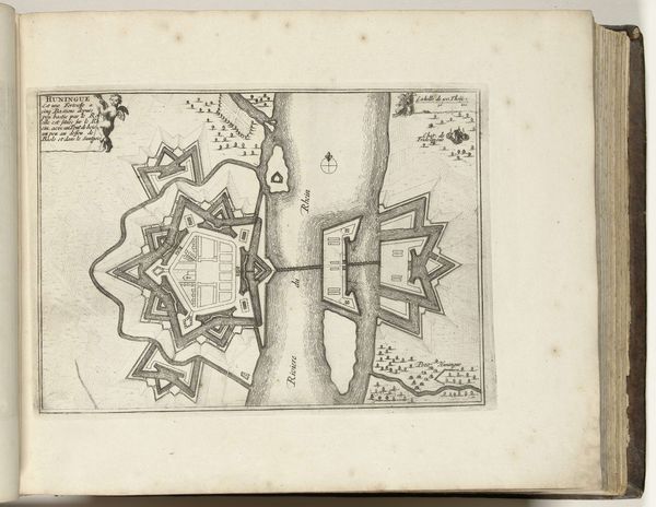
Dimensions: height 231 mm, width 292 mm
Copyright: Rijks Museum: Open Domain
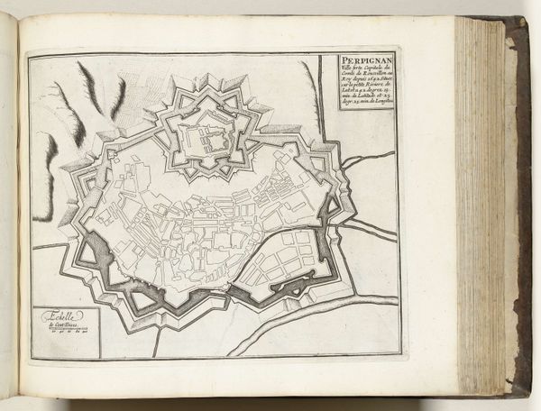
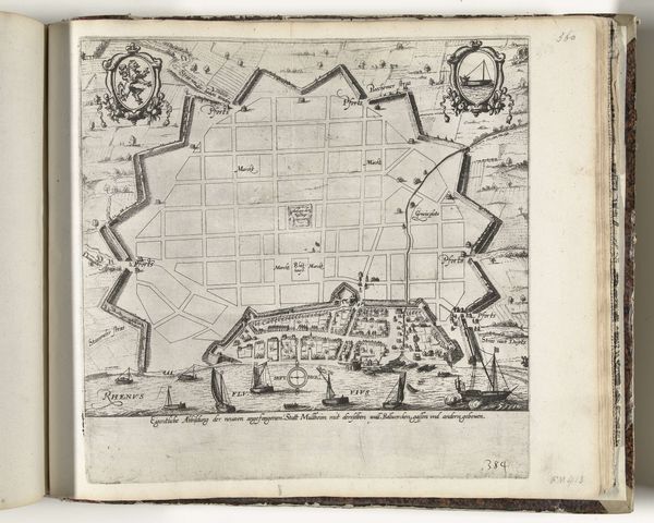
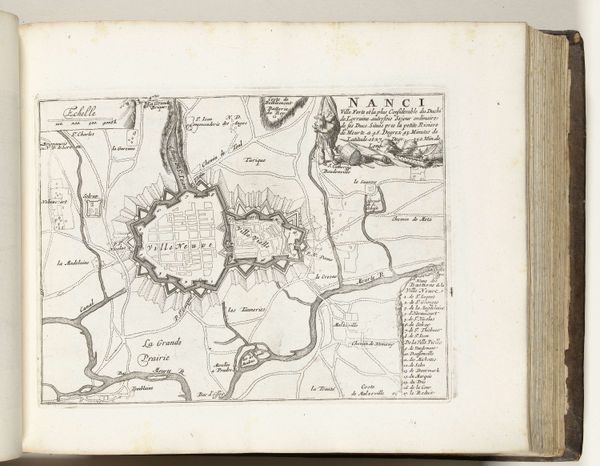
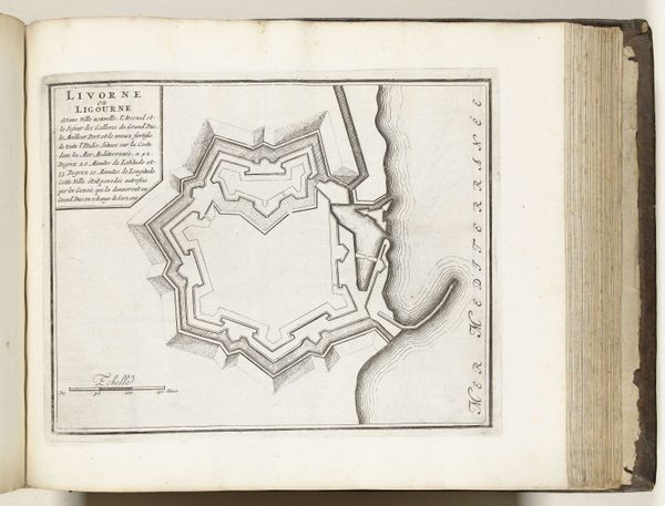
This is an anonymous map of Civitavecchia, made around 1693 to 1696. Civitavecchia, a port city northwest of Rome, carried significant geopolitical weight in the Mediterranean. In the early modern period, maps were more than just geographic tools; they were instruments of power. They visually asserted control and knowledge of territories. The rigid lines and geometric shapes used here reflect a desire to impose order and authority on both land and sea. Consider what it meant to map a place, to define its boundaries, during a time of constant territorial disputes and naval competition. Maps often served to embolden national identity while also justifying colonial expansion. This map, while seemingly objective, participates in a larger history of claiming space and shaping perceptions of the world. It is a powerful reminder of how images can reinforce dominance.
Comments
No comments
Be the first to comment and join the conversation on the ultimate creative platform.
More like this